Scenic Canyon Regional Park
Formación geológica en Okanagan Valley, Canada
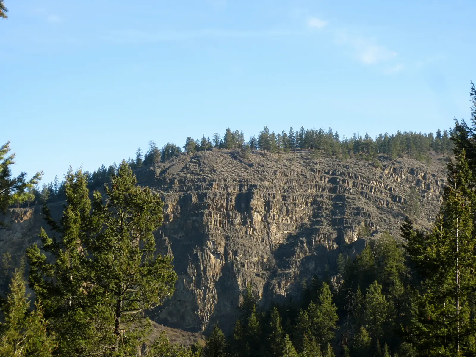 Extemporalist · CC0, via Wikimedia Commons
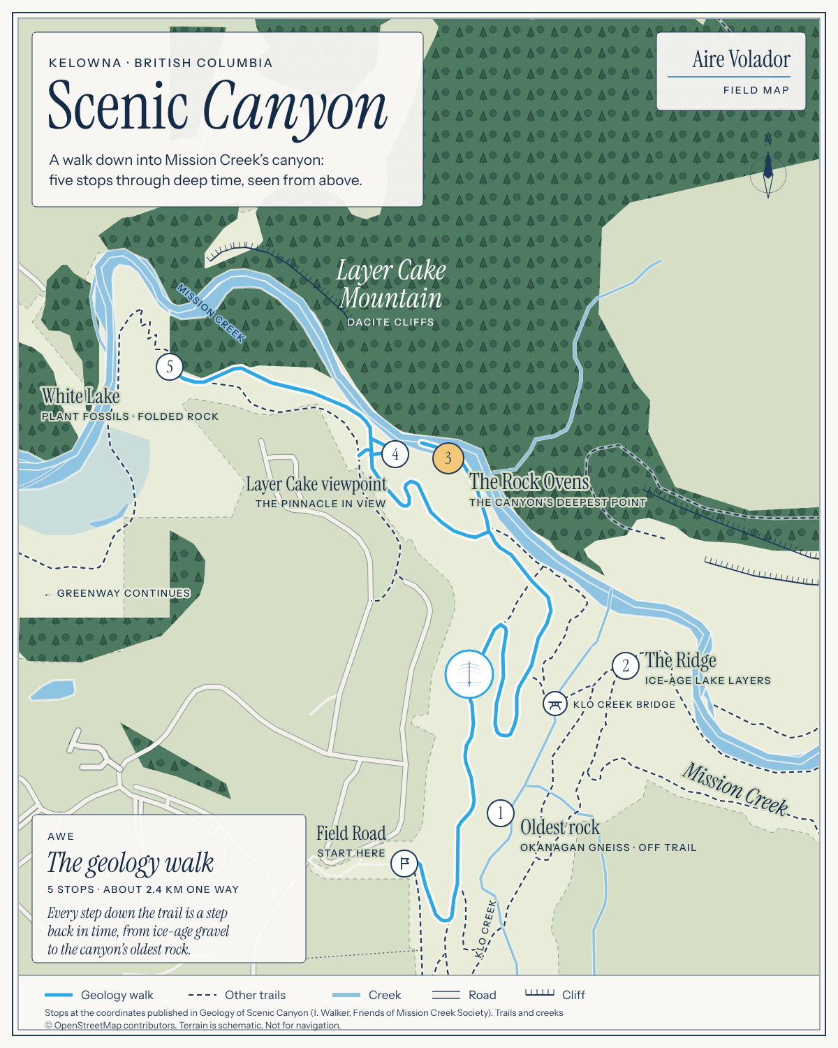
Mapa de campo
Aire Volador · © OpenStreetMap contributors · No apto para navegar.
- Abierto todo el año
- Duración típica: 2h
Acceso y tarifas
- field road entrance
- entrada gratuita
- hollywood road south entrance is wheelchair-accessible and parking lot too
Qué hacer
- hiking / walking (sendero: Saskatoon Trail)
- nature walking (terrain: canyon, creek-side)
- self-guided geology tour (format: walking tour with GPS stops)
Antes de ir
- trail conditions change with weather and seasons (consejo: use own judgment and come prepared)
Servicios
Características
- canyon trail system (creek: KLO Creek and Mission Creek)
- connects to mission creek greenway
- eocene sedimentary rock (formation: White Lake formation)
- eocene volcanic rock (antigüedad: approx. 50 million years · formation: Marron formation)
- exposed okanagan gneiss (ubicación: along KLO Creek upstream of bridge)
- geology tour viewpoints (stops: ridge, rock ovens, Layer Cake Mountain viewpoint, White Lake Formation viewpoint)
- glacial outwash deposits (antigüedad: approx. 12,000-15,000 years old)
- regional park (operador: RDCO)
- saskatoon trail (difficulty: green circle / beginner · rating system: IMBA)
- syilx okanagan territory (status: traditional, ancestral, unceded land)
- trail blazes with imba ratings (posted: trailhead and along route)
Cerca de aquí
- mission creek greenway (connection: direct from Saskatoon Trail)
Datos útiles
- parking lot access (ubicación: Field Road, adjacent to Pinnacle Golf Course)
- trail difficulty posted (método: IMBA blazes at trailheads and along route)
- trail wide and gently sloping (sendero: Saskatoon Trail)
Identificador de catálogo: AVIA-3YQ1-4QQKZ
Fotos
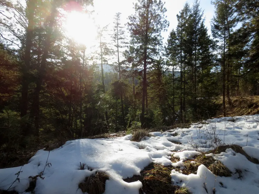 Extemporalist · CC0, via Wikimedia Commons
 Accuruss · CC BY-SA 4.0, via Wikimedia Commons