Mount Adams
Volcánico en Trout Lake, Washington, United States
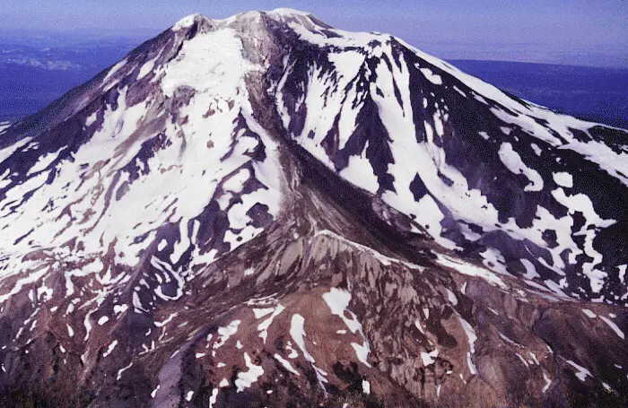 USGS Photo by R. Iverson, USGS/CVO · Public domain, via Wikimedia Commons
- Abierto todo el año
- Mejores meses: junio–septiembre
- Duración típica: 4h
Acceso y tarifas
- $20 climbing pass, per person (temporada: May 1–Sep 30 · age threshold: 16 and older · elevation threshold: above 7,000 ft)
- day pass if not climbing above 7,000 ft (applies to: South Climb Trailhead parking)
- free for under-16 climbers (antigüedad: under 16 · tarifa: ninguno)
Qué hacer
- alpine mountaineering (gear required: ice axe, crampons)
- biking
- campgrounds are open in the summer
- acampada (temporada: warmer months)
- cross-country skiing (temporada: invierno)
- equestrian sports — During summer
- senderismo y mochilismo (trails: 11+ named trailheads)
- mountaineering / summit climbing (easiest route: South Spur (non-technical))
- mountaineering, multiple routes (easiest route: South Spur · skills required: ice axe, crampons)
- pacific crest trail access (ubicación: western flank)
- motonieve (temporada: invierno)
- caminata con raquetas de nieve
- observación de estrellas
- summit mountaineering (routes: multiple, varying difficulty)
Servicios
- avenza wilderness map available (format: digital download)
- multiple named trailheads (examples: South Climb, Killen Creek, Muddy Meadows, Stagman Ridge)
Mejor época para visitar
- climbing season may–sept (temporada: May 1–September 30) — pass required above 7,000 ft
- senderismo y mochilismo (temporada: warmer months (summer))
- summer hiking and climbing (temporada: mayo–septiembre)
- wildflowers peak in summer (temporada: meses de verano)
Eventos y temporadas
- climbing pass required annually (temporada: May 1–September 30 · elevation threshold ft: 7000)
- climbing pass required season (temporada: May 1–September 30 · elevation threshold: above 7,000 ft)
Características
- 12 named glaciers — active glaciers on slopes
- 12,276 ft stratovolcano (rank: 2nd highest peak in Washington)
- 47,122-acre wilderness (nombre: Mt. Adams Wilderness)
- dual jurisdiction (east: Yakama Nation · west: Gifford Pinchot NF)
- eastern half yakama nation land (acceso: largely closed to recreation)
- largest volcano by bulk in washington (diameter miles: 18)
- last lava flow ~1,000 years ago
- recent volcanic activity (last lava flow: ~1,000 years ago)
- second-highest washington peak (elevation ft: 12,276)
- stratovolcano, cascade range (elevation ft: 12,276 · rank in state: 2nd highest)
Cerca de aquí
- columbia river, 30 mi south
- gifford pinchot national forest
- mount rainier (distance miles: 50 north)
- mount st. helens (distance miles: 37 west)
- pacific crest trail (ubicación: western flank)
- yakama nation reservation (east half) (acceso: largely closed to recreation)
Datos útiles
- alpine gear required all routes (gear: ice axe, crampons)
- climbing pass required above 7,000 ft (temporada: May 1–Sep 30 · age threshold: 16+)
- day pass required at south climb trailhead (condition: even if not climbing above 7,000 ft)
- eastern half closed to public (manager: Yakama Nation) — largely closed to recreation
- human waste pack-out required (gear: carry-out bags)
- limited search and rescue (advice: plan self-rescue)
- rapid weather changes above 6,000 ft (hazard: sudden snowstorms possible any month)
- rapid weather changes possible — snowstorms above 6,000 ft any month
- self-rescue preparedness advised — search and rescue operations limited
- wilderness regulations apply
- yakama nation permit required (superficie: Tract D / Round-the-Mountain trail section)
Identificador de catálogo: AVIA-9HQ5-7PCEF
Fotos
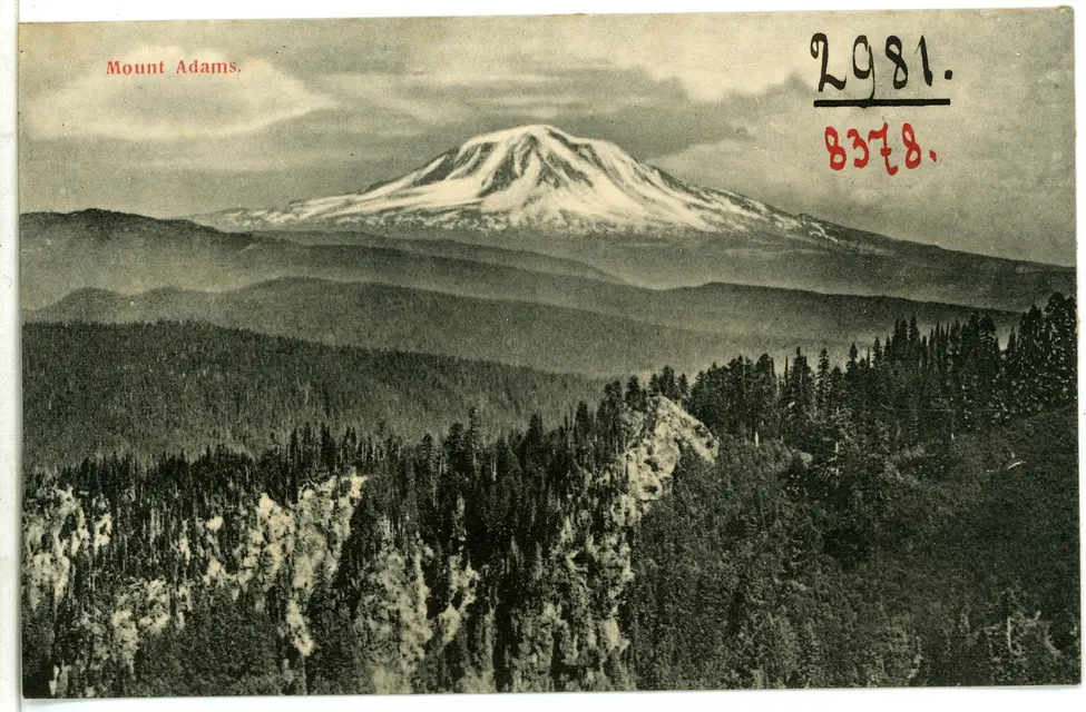 Brück & Sohn Kunstverlag Meißen · CC0, via Wikimedia Commons