Marymere Falls
Cascada en Clallam County, Washington, United States
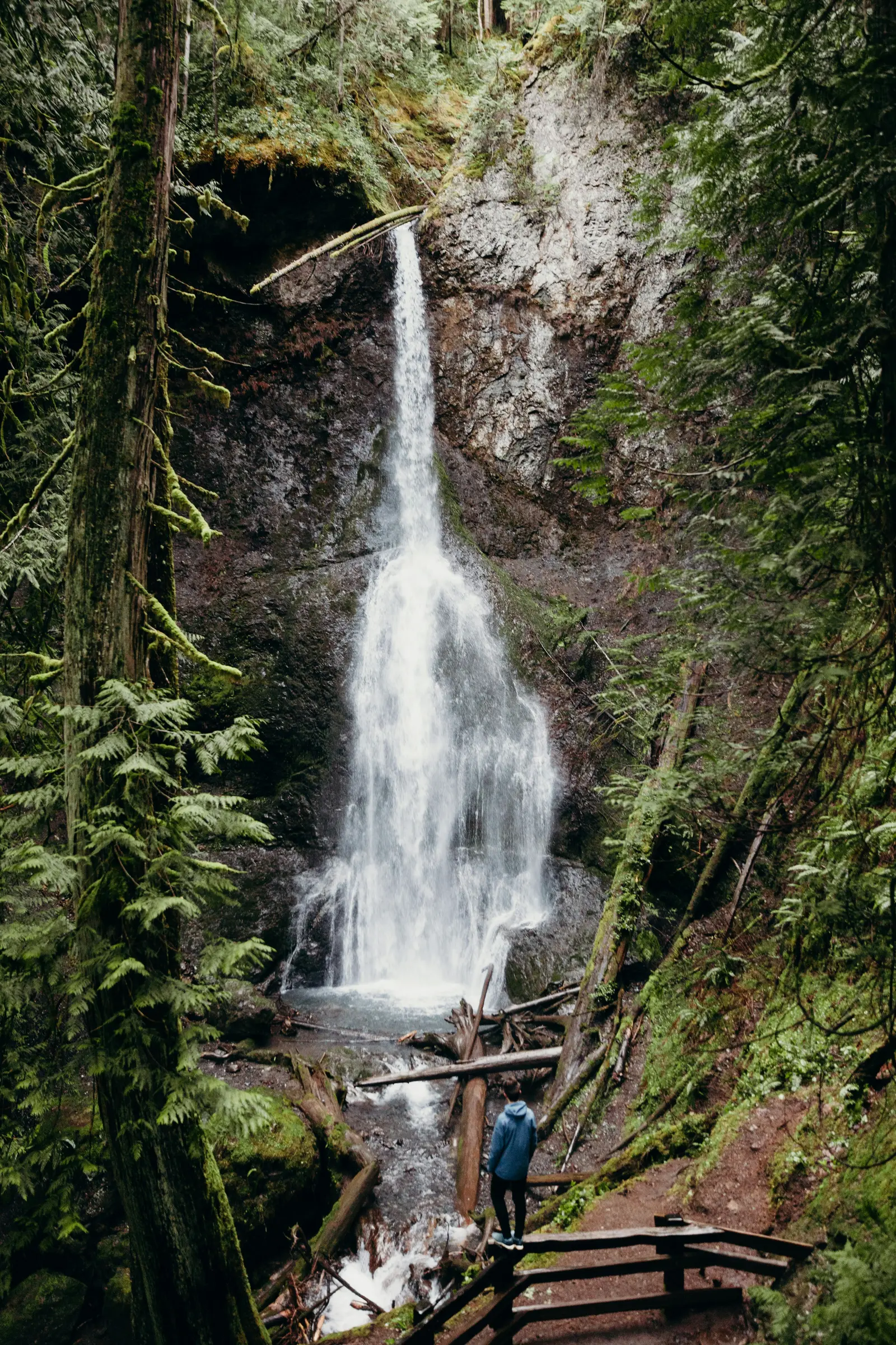 David Kovalenko · by permission
Acceso y tarifas
- children under 16 (tarifa: gratis)
- motorcycle entry (tarifa: USD 25 · validity: 7 days)
- olympic annual pass (tarifa: USD 55 · validity: 1 year from purchase month)
- per person on foot or bicycle (16+) (tarifa: USD 15 · validity: 7 consecutive days)
- private vehicle entry (tarifa: USD 30 · validity: 7 consecutive days)
Qué hacer
- observación de aves
- forest hiking
- senderismo (surface: dirt · condition: well-maintained · trail length mi: 0.9)
- nature appreciation
- old-growth forest exploration
- fotografía
- waterfall viewing
- wildlife and forest observation
Antes de ir
- check conditions before visiting (contact: Road and Weather line 360-565-3131)
- loop direction recommended — go left at fork for fewest stairs to falls overlook
- loose gravel on descent — skree present on steep descent from upper overlook
- no cell reception near falls — good reception at trailhead, none near falls
- reduced facilities oct–may — some roads, campgrounds, facilities closed or reduced hours
- stairs and switchbacks — 52+ steep uneven steps on loop; significant for mobility-limited visitors
Servicios
- bench at upper overlook (ubicación: upper viewpoint)
- ranger station at trailhead (nombre: Storm King Ranger Station)
Mejor época para visitar
- peak visitation season (temporada: junio–septiembre)
Características
- 90.5 ft waterfall (height m: 27.6 · height ft: 90.5)
- dual waterfall viewpoints (viewpoints: lower and upper)
- falls creek waterway (flows to: Barnes Creek)
- family-friendly hike — one of most popular on Olympic Peninsula
- located in olympic national park
- nature stairs near falls (gain ft: approx 200)
- old-growth forest (especies: fir, cedar, hemlock, alder)
- two wooden bridges (on trail: true)
- upper and lower viewpoints (loop: Falls Loop)
- water source (creek: Falls Creek · ridge: Aurora Ridge)
Cerca de aquí
- aurora ridge (relación: water source)
- barnes creek (relación: downstream outflow)
- highway access (highway: U.S. Highway 101)
- lake crescent
- lake crescent lodge (relación: trailhead access point)
- nearest city (city: Port Angeles, WA · drive: 30 min)
- nearest town (pueblo: Hoodsport, WA)
- storm king ranger station (relación: alternate trailhead)
- u.s. highway 101 (relación: close proximity)
Datos útiles
- accessible section (surface: compacted gravel · distancia: ~0.5 mile)
- cash accepted (accepted: no)
- difficulty easy
- drive from port angeles (duración: 30 minutes)
- elevation gain 500 ft (highest point ft: 1100)
- family-friendly rating
- highest point (elevación: 1,100 ft)
- near us highway 101 (park: Olympic National Park)
- park hours (horario: 24 hours, year-round)
- park jurisdiction (park: Olympic National Park)
- trail distance 1.8 mi rt (one way mi: 0.9 · roundtrip mi: 1.8)
- trail surface (surface: compacted gravel, soil, roots, stairs)
- trail width (width: 4 ft typical)
- trailhead location (start: Storm King Ranger Station)
- well-maintained trail (difficulty: easy)
Identificador de catálogo: AVIA-7NN9-ABT56
Fotos
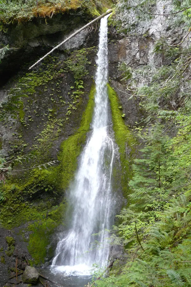 Zandcee · CC BY-SA 3.0, via Wikimedia Commons
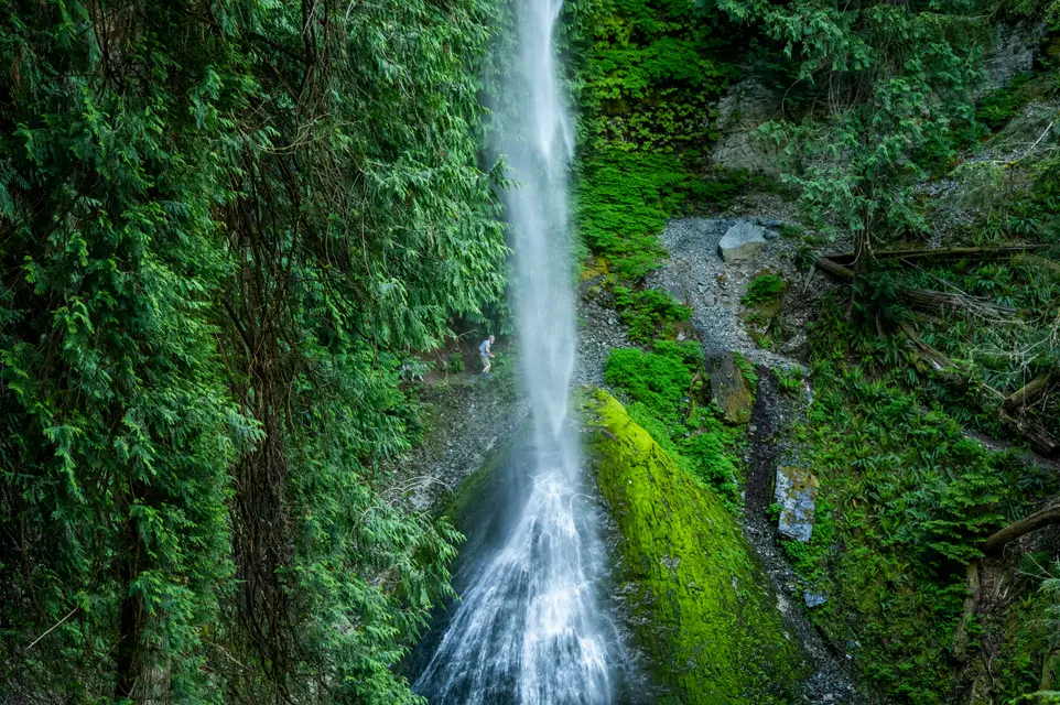 Jenny Walsh · by permission