Lake Chelan
Región vinícola en Chelan, Washington, United States
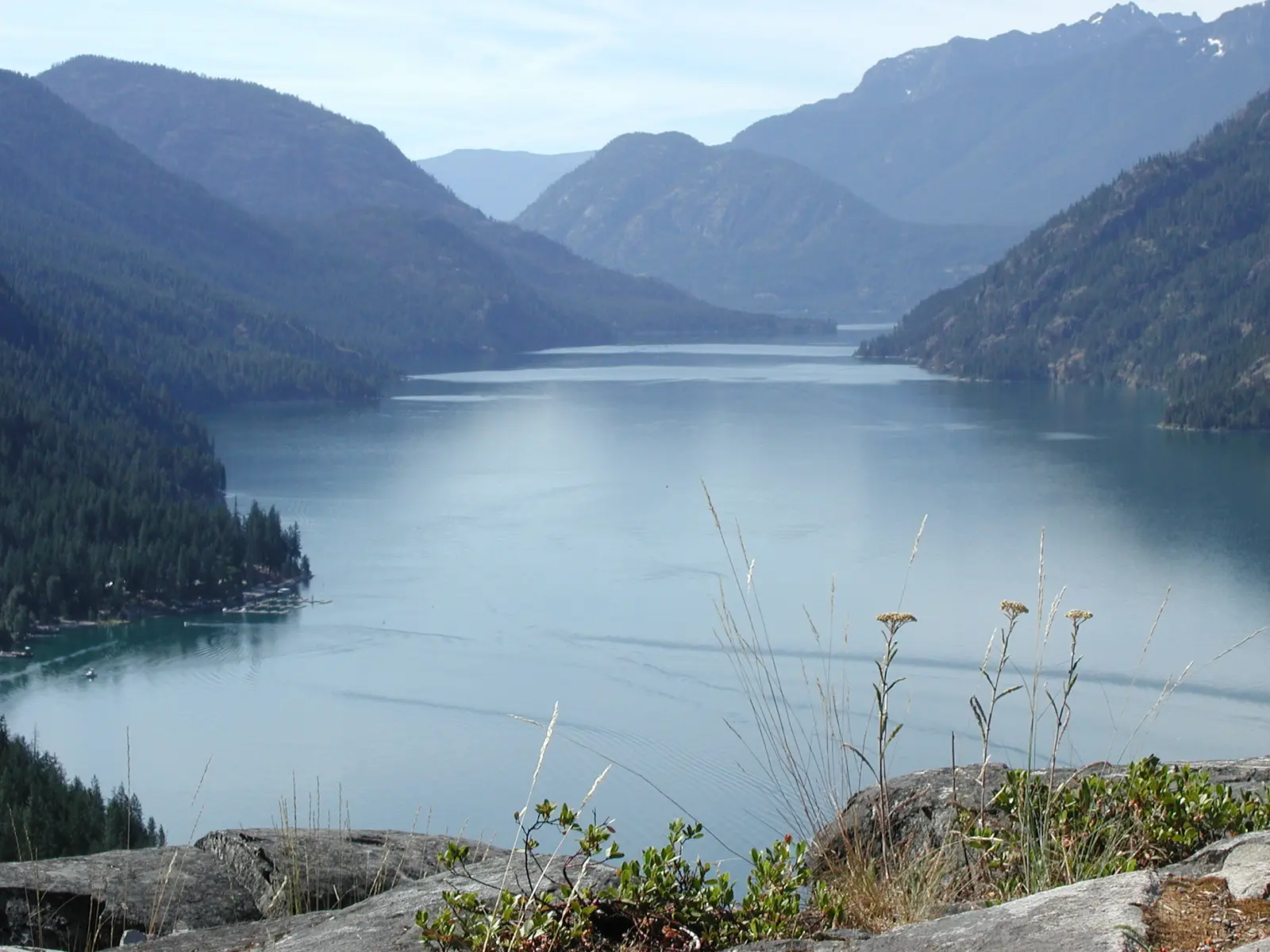 David Ansley · CC BY 2.5, via Wikimedia Commons
- Abierto todo el año
- Mejores meses: junio–septiembre
- Duración típica: 4 días
Qué hacer
- beaches
- navegación
- acampada
- ciclismo
- pesca
- senderismo
- kayak
- paddleboarding
- fotografía
- picnic
- scenic cruises
- natación
- observación de vida silvestre
- wine tasting
Mejor época para visitar
- year-round access (temporada: durante todo el año · avg low: ~40°F · avg high: ~60°F)
- year-round access varies (temporada: durante todo el año) — south end drier; north end heavy snow
- year-round mild temps (temporada: durante todo el año · avg low f: 40 · avg high f: 60)
Características
- 50.5 mi long, 1.3 mi avg width (length km: 81.3 · avg width km: 2.1)
- 50.5-mile length (avg width: 1.3 mi (2.1 km))
- 62 miles protected shoreline (breakdown: 50 mi National Forest, 12 mi National Park)
- 90%+ forested watershed (watershed area: 924 sq mi)
- fjord-like glacial trough (longitud: 50.5 mi (81.3 km) · avg width: 1.3 mi (2.1 km))
- lake bottom below sea level (depth below sea: 388–436 ft)
- lake floor below sea level (depth below sea: 388–436 ft)
- national forest shoreline (longitud: ~50 mi upper basin)
- pleistocene glacial origin (last glaciation: ~21,000 years ago)
- salish name 'deep water' (origen: Salish word Tsi-Laan)
- stehekin river primary inflow (contribution: 65% of lake water)
- third deepest us lake (max depth: 1,486 ft (453 m) · rank global: 25th)
- two distinct basins (lower: Wapato Basin · upper: Lucerne Basin)
- two sub-basins (lower: Wapato Basin · upper: Lucerne Basin)
Cerca de aquí
- north cascades national park (dirección: northern tip gateway)
Datos útiles
- dam-raised lake elevation (year: 1927 · raised ft: 21 · elevation ft: 1,100)
- dam-regulated water level (dam built: 1927 · elevación: 1,100 ft max capacity)
- dry southern climate (annual rain: 11.4 in · annual snow: 21.8 in)
- elevation 1,100 ft (set by: Lake Chelan Dam, 1927)
- limited upper basin beaches (motivo: mountainous shoreline terrain)
- national forest shoreline (miles in national park: 12 · miles in national forest: ~50)
- national park shoreline (miles: ~12 upper basin)
- snowy northern end (ubicación: Stehekin · annual rain in: 35.5 · annual snow in: 122.5)
- south end dry climate (annual rain in: 11.4 · annual snow in: 21.8)
- stehekin access limited — boat or floatplane primary access
- varied climate along length (north rain: 35.5 in/yr · south rain: 11.4 in/yr)
- watershed 90% forested (forested pct: >90% · watershed sq mi: 924)
- wet northern climate (annual rain: 35.5 in · annual snow: 122.5 in)
Identificador de catálogo: AVIA-VW4S-Y1QH8
Fotos
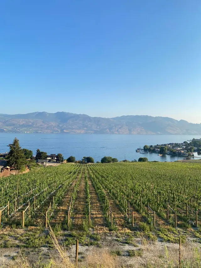 The Six · by permission, via pexels.com