Grand Coulee Dam
Valle en Grand Coulee, Washington, United States
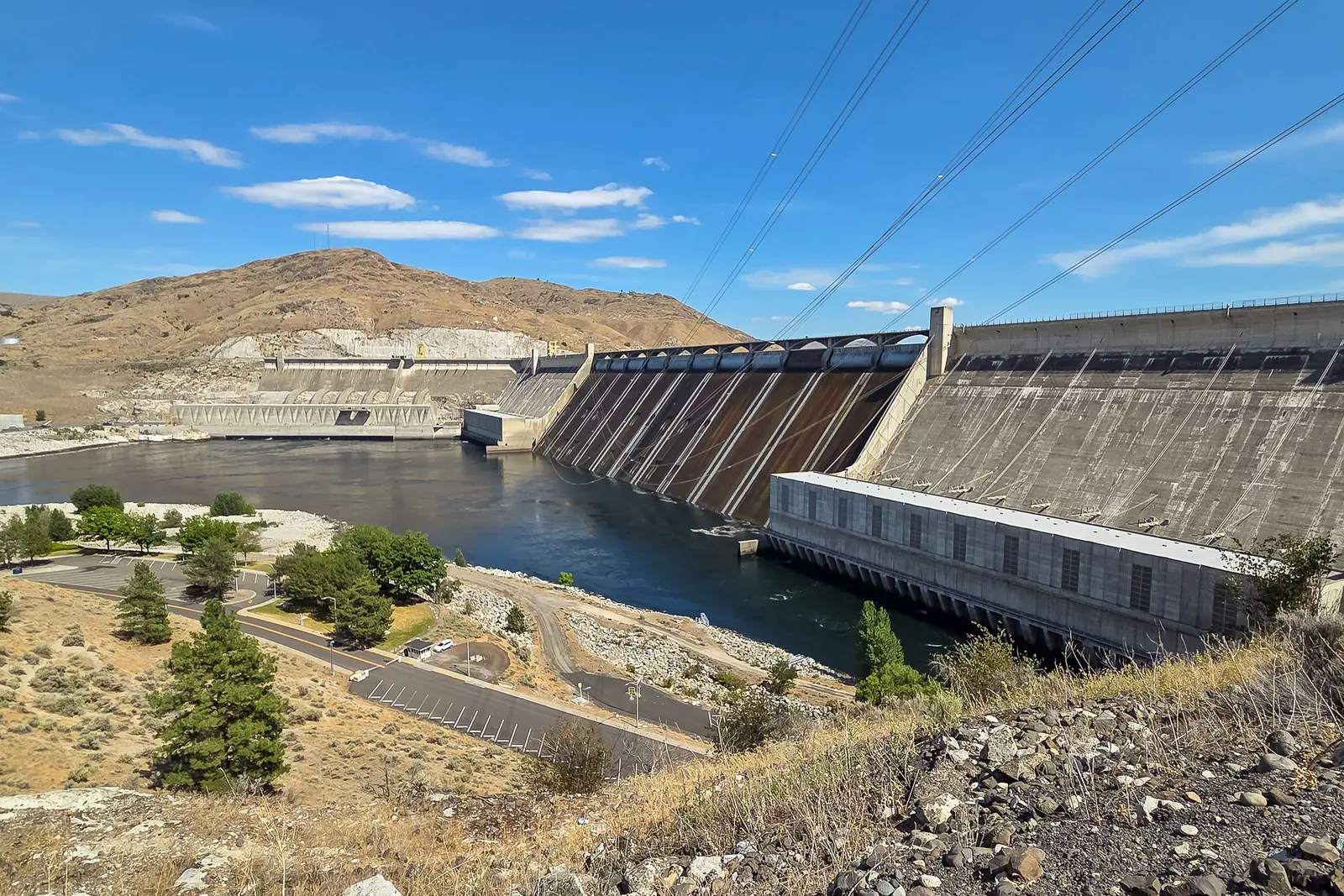 William Jacobs · by permission, via pexels.com
Qué hacer
- explore nearby lakes for boating, kayaking, canoeing, swimming, and fishing
- interpretación de geología y era de hielo
- senderismo
- fotografía
- picnic
- scenic driving through the coulee
- observación de estrellas
- visit nearby attractions such as dry falls, steamboat rock, banks lake, and sun lakes–dry falls state park
- visit viewpoints and overlooks
- vida silvestre y observación de aves
Mejor época para visitar
- extended hours and laser light show run (temporada: Late May–September 30 · found by: season-search (Rafael 20 Oct))
Características
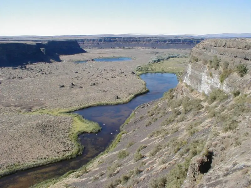
- 60-mile ancient coulee (length km: 97 · length mi: 60)
- channeled scablands geology (cause: repeated glacial outburst floods)
- coulee walls 1,300 ft (max wall height m: 400 · max wall height ft: 1300)
- dry falls landmark (ubicación: south of Banks Lake · description: one of largest waterfalls ever known)
- glacial erratic boulders (ubicación: elevated areas northwest of coulee)
- glacial flood geology (origen: Lake Missoula ice dam failures)
- granite glacier grooves (visibility: still visible in exposed bedrock)
- national natural landmark (designation: National Natural Landmark)
- upper coulee 25 miles long (length km: 40 · length mi: 25 · wall height ft: 800–900)
- visible glacial grooves (surface: exposed granite bedrock)
Cerca de aquí
- banks lake (relación: fills Upper Coulee)
- dry falls (position: bisects coulee, south of Banks Lake)
- dry falls state park (ubicación: Coulee City area)
Datos útiles
- open daily: 8:30 am – 5:00 pm
- where to stand for the best views - for the ultimate panoramic bird's-eye view: crown point vista
Identificador de catálogo: AVIA-PKCF-4PM3R
Fotos
 en:User:Duk · CC BY-SA 3.0, via Wikimedia Commons