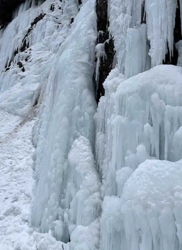
Catálogo Aire Volador › Washington › Franklin FallsFranklin Falls
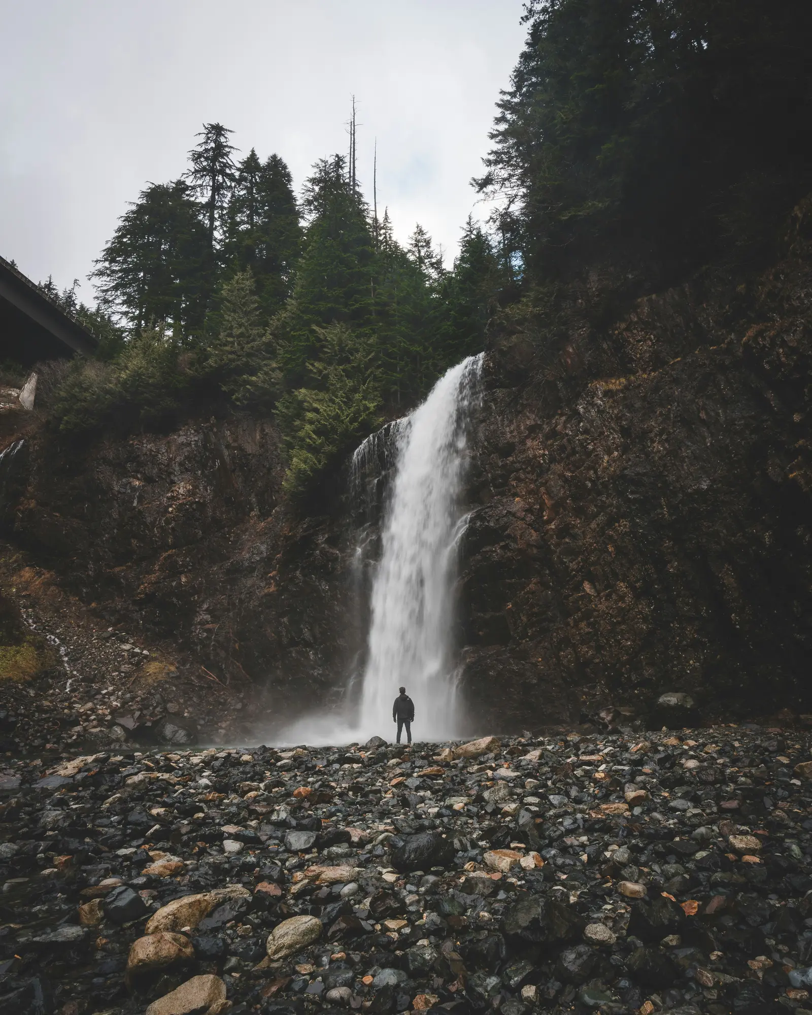
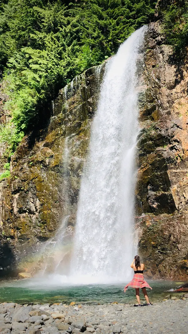
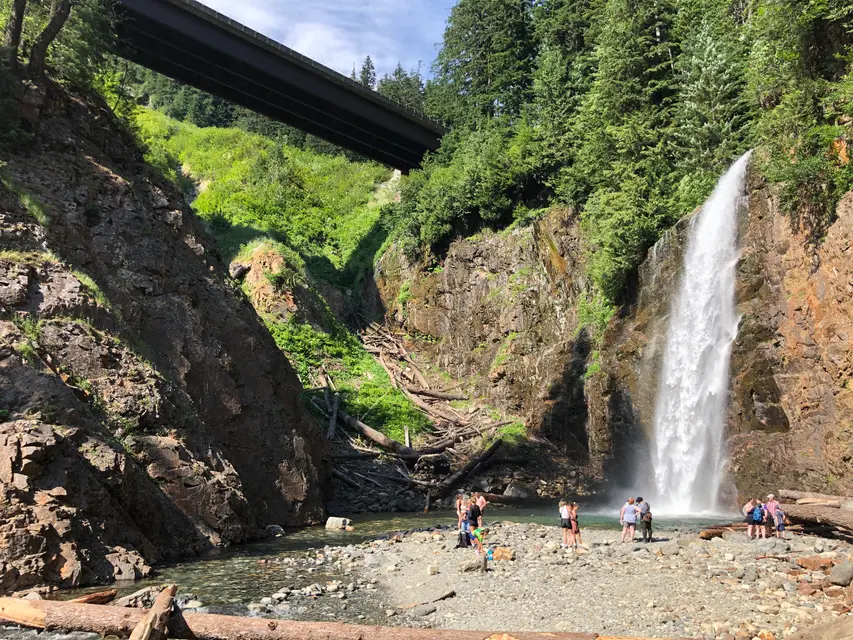
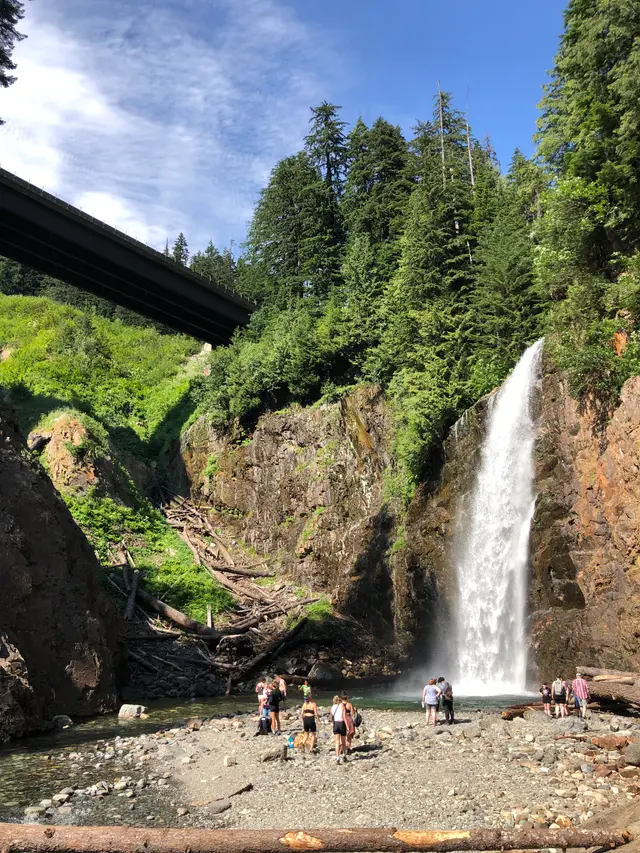
Cascada en North Bend, Washington, United States
Cameron Stewart · by permission, via unsplash.com
Abierto todo el año Mejores meses: mayo–octubre
Duración típica: 3h
Acceso y tarifas
$5 entry/parking fee you can pay on site by phone or NW forest pass works.
Qué hacer
family hiking
forest walking
hiking to falls base (terrain: old-growth forest)
loop hiking (sendero: Wagon Road Trail 1021 · distancia: 2 mi loop)
nature observation
fotografía
waterfall viewing
winter/snow hiking
Antes de ir
steep slippery descent (consejo: use caution; surface can be slippery · ubicación: final descent to base of falls)
Servicios
ada parking (ubicación: before main parking area)
vault toilet (ubicación: before main parking area)
Características
135-ft total drop (tier 1: 15 ft block · tier 2: 25 ft fan · tier 3: 70 ft plunge)
old-growth forest trail (river: South Fork Snoqualmie River)
south fork snoqualmie river (position: first of three falls)
three-tiered waterfall (total height: 135 ft (41 m))
Cerca de aquí
denny creek campground
denny creek trailhead
snoqualmie pass
weeks falls, twin falls (relación: downriver on same waterway)
Datos útiles
exit 47 off i-90 (county: King County, WA)
ranger district contact (horario: Mon, Tue, Thu 9am-3pm; closed Wed, Fri, weekends, federal holidays · teléfono: (425) 888-1421 · office: Snoqualmie Ranger District, North Bend)
trailhead directions (ruta: I-90 exit 47, north over overpass, right at T, left onto Denny Creek Road (FS Rd 58), 2.8 miles)
trails reopened 2025 (closure reason: budget cuts)
Identificador de catálogo: AVIA-E1BB-2HKE2
Fotos
Steven Pavlov · CC BY-SA 4.0, via Wikimedia Commons Steven Pavlov · CC BY-SA 4.0, via Wikimedia Commons Steven Pavlov · CC BY-SA 4.0, via Wikimedia Commons Aire Volador Datos recopilados y validados por Aire Volador a partir de fuentes públicas citadas. · Actualizado 2026-10-04 · Aire Volador Datos de mapa © OpenStreetMap contributors