Dettifoss
Ribereño en Reykjahlid, Iceland
 Aire Volador
- Temporada: junio–septiembre
- Duración típica: 2h
Acceso y tarifas
- east bank route 864 (seasons: summer only · road type: gravel)
- sin tarifa mencionada (tarifa: none stated in sources)
- none mentioned (tarifa: no indicado en las fuentes)
- route 862 west, paved (temporada: durante todo el año · vehicle: all vehicles)
- route 864 east, gravel (temporada: summer only · vehicle: 4WD required)
- west bank route 862 (construido: 2011 · seasons: all seasons · road type: paved)
Qué hacer
- observación de aves
- diamond circle touring (route includes: Lake Mývatn, Húsavík)
- explore jökulsárgljúfur canyon
- geology interpretation
- guided 4×4 tour access (ruta: east bank, Route 864)
- guided 4wd tours
- hike between dettifoss, selfoss, and hafragilsfoss
- hiking maintained trails (banks: east and west)
- hiking to falls (trails: both banks)
- hiking to viewpoints (trails: both east and west banks)
- hiking to waterfall (trails: both east and west banks)
- nature walks
- fotografía
- conducción panorámica
- self-drive ring road tour
- visit nearby waterfalls and volcanic landscapes
- walk to multiple viewing platforms
- waterfall viewing (banks: east and west)
Servicios
- east bank facilities (incluye: public toilet, information panel)
- east bank: toilet, info panel, trail (operador: Vatnajökull National Park)
- information panel east bank (administrado por: Vatnajökull National Park)
- pit toilet west bank (bank: west)
- public toilet east bank (bank: este)
- viewing platform, west bank (bank: west)
- west bank facilities (incluye: pit toilet, hiking path, viewing platform)
- west bank: toilet, platform, trail (facilities: pit toilet, viewing platform, hiking path)
- west bank: toilet, viewpoint, path (facilities: pit toilet, viewing platform, hiking path)
Mejor época para visitar
- peak water flow in summer (cause: glacial melt · temporada: verano)
- summer for access and flow (temporada: junio–septiembre)
- summer for east bank (motivo: Route 864 gravel road passable · temporada: verano)
- summer visit recommended (motivo: accessible roads, safer trails, peak flow · temporada: junio–septiembre)
- summer, june–september (motivo: full road access, peak glacial melt · temporada: junio–septiembre)
Características
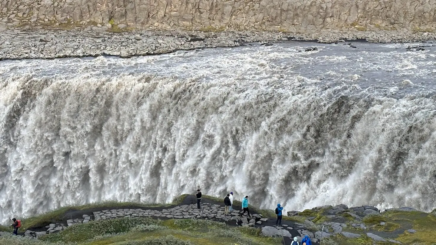
- 100 m wide, 44 m drop (drop m: 44 · width m: 100)
- 193 m³/s average discharge (flow m3 per s: 193)
- 193 m³/s average flow (flow m3 per s: 193)
- 2nd most powerful in europe (ranking basis: flow × fall distance)
- 44 m drop, 100 m wide (width m: 100 · height m: 44)
- avg flow 193 m³/s (avg discharge m3s: 193)
- basalt column terrain (origen: volcanic and glacial erosion)
- drops into jökulsárgljúfur canyon
- europe's most powerful waterfall — disputed; Rhine Falls also claimed
- grey-white sediment water (cause: glacial sediment runoff)
- greyish-white glacial water (cause: sediment-rich runoff)
- reputed most powerful in europe (caveat: disputed with Rhine Falls)
Cerca de aquí
- cañón de ásbyrgi (ruta: Círculo de Diamantes)
- ruta del círculo de diamantes (incluye: Húsavík, Lake Mývatn)
- godafoss waterfall (region: North Iceland)
- hafragilsfoss waterfall
- húsavík (known for: avistamiento de ballenas)
- lake mývatn (ruta: Círculo de Diamantes)
- selfoss and hafragilsfoss waterfalls (acceso: same trail network)
- selfoss waterfall (acceso: same trail network)
Datos útiles
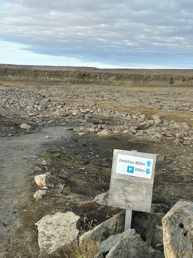
- allow 2–3 hours if visiting dettifoss, selfoss, and hafragilsfoss together.
- combine your visit with ásbyrgi canyon, mývatn, and hverir.
- diamond circle touring route (incluye: Mývatn, Húsavík, Ásbyrgi)
- east side gravel, 4wd only (road: Route 864 · winter: usually closed · surface: gravel)
- film location: prometheus 2012 (scene: opening sequence)
- route 862, west bank, paved (open: durante todo el año · vehicles: all vehicles)
- route 864 closed in winter (temporada: winter closure typical)
- route 864, east bank, gravel (cerrado: typically winter · vehicles: 4WD required)
Identificador de catálogo: AVIA-TQE5-BCR35
Fotos
 Aire Volador