Deception Pass
Acantilado en Oak Harbor, Washington, United States
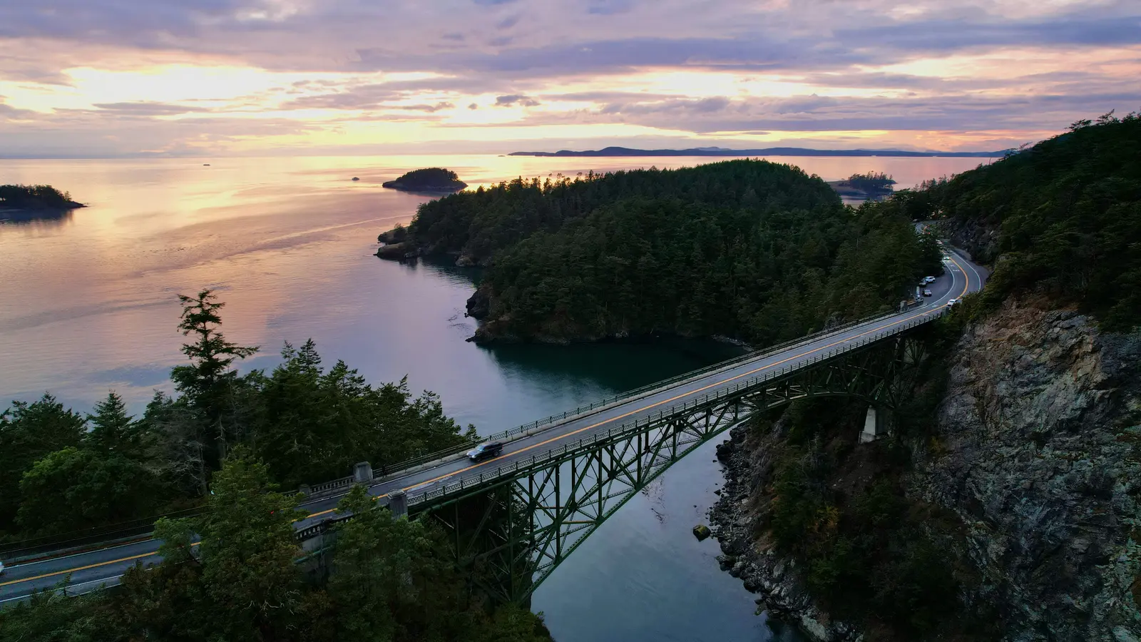 Erick Morales Oyola · by permission, via unsplash.com
- Abierto todo el año
- Mejores meses: mayo–septiembre
- Duración típica: 2h
- Horario: 06:30-dusk (registrado 2026-10-13)
Acceso y tarifas
- buoy fee (tarifa: $23)
- se requiere pase discover (day: $10 · annual: $45)
- dock moorage fee (tarifa: $1 per vessel foot)
- overnight unattended vehicle (tarifa: $10/night)
- trailer dump fee (tarifa: $5/use)
- watercraft launch fee (tarifa: $7/day)
Qué hacer
- bird watching
- navegación
- bridge walking & viewpoints
- acampada (types: standard, accessible, winter)
- crabbing
- pesca
- senderismo
- hiking trail network (ubicación: both island sides)
- jet boat tours (ruta: canyon and under bridge)
- kayak — class 2–3 rapids during large tide changes
- kayaking rapids (class: 2–3 · trigger: large tide changes)
- ciclismo de montaña
- paddleboarding
- picnic
- buceo — expert only, limited safe windows
- shellfishing
- natación
- tidal current viewing (viewpoints: bridge walkways, south-bridge trail)
- observación de vida silvestre (especies: elephant seals, porpoises, orcas, whales)
Servicios
- accessible trails and campsites
- amphitheater
- boat ramp
- campgrounds (ubicación: Whidbey Island side)
- dock moorage and buoys
- interpretive visitor center
- picnic shelters
- ranger station (dirección: 41020 State Route 20, Oak Harbor)
- restrooms with showers
Mejor época para visitar
- summer for warm, dry weather (temporada: junio–septiembre)
- warm dry hiking (temporada: verano)
- wildflower blooms (temporada: winter–spring)
- winter–spring for wildflowers (temporada: December–May)
Eventos y temporadas
- jr. ranger activity (temporada: scheduled program, e.g. Sep 6 6:30–7:00 p.m.)
Características
- 4,100+ acres (incluye: forest, beaches, trails, campsites)
- cranberry lake (use: freshwater fishing, bird watching)
- deception pass bridge (NRHP: listed 1982 · longitud: 976 ft / 297 m)
- exposed ophiolite geology (antigüedad: 140+ million years)
- glacial grooves on goose rock (cause: last ice age glacier)
- historic twin bridges (listed: National Register of Historic Places, 1982)
- old-growth forested shoreline (especies: Douglas fir, Sitka spruce, madrone, western red-cedar)
- original forested shoreline (context: among last in Salish Sea)
- tidal currents (speed: ~8 knots peak)
- tidal strait, ~8-knot currents (hazard: standing waves, whirlpools, eddies)
Cerca de aquí
- hope island marine state park (tipo: separate marine park)
- skagit island marine state park (tipo: separate marine park)
Datos útiles
- access via sr-20
- dogs allowed on leash
- horses allowed
- más de 2 millones de visitantes anuales
- park hours (apr–sep) (horario: 6:30 AM to dusk)
- park hours (oct–mar) (horario: 8:00 AM to dusk)
- primary access road (road: State Route 20)
- summer hours (horario: 6:30 a.m.–dusk)
- winter hours (horario: 8:00 a.m.–dusk)
Identificador de catálogo: AVIA-A4PQ-09Z4Z
Fotos
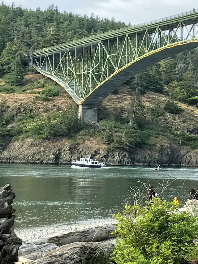 Aire Volador