Catálogo Aire Volador › New York › Cayuga LakeCayuga Lake
Región vinícola en Ithaca, New York, United States
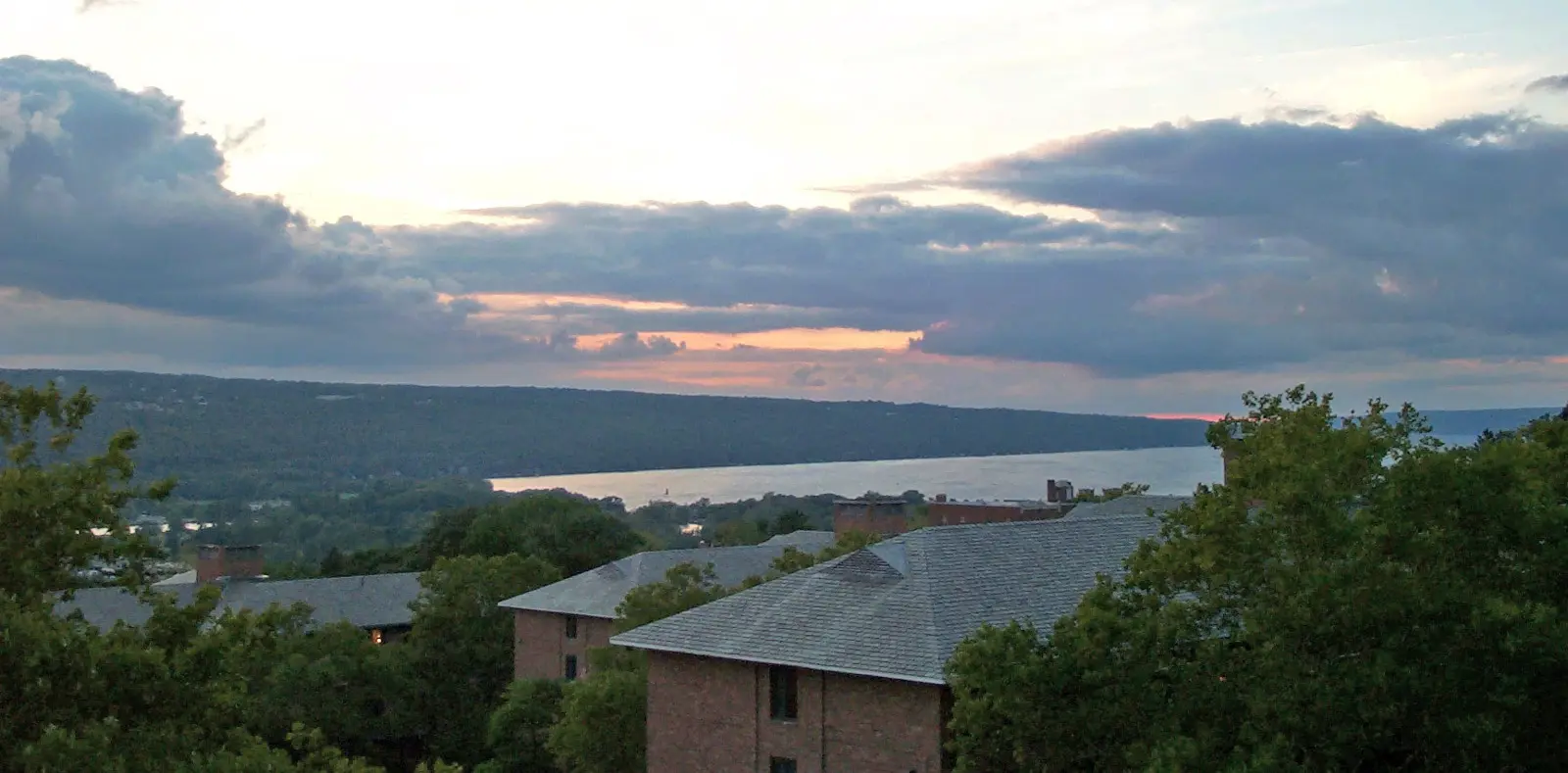
The original uploader was Cornellrockey at English Wikipedia. Later versions were uploaded by Mercuryboard at en.wikipedia. · CC BY-SA 2.5, via Wikimedia Commons
Abierto todo el año Duración típica: 5h
Qué hacer
observación de aves (ubicación: northern mudflats and marsh)
boat launch access (sites: Taughannock Falls SP, Long Point SP, Cayuga Lake SP, Deans Cove)
hiking trails (description: miles of glacial landscape trails)
museum visits (theme: regional history, Underground Railroad, women's rights)
recreational boating (marina: Allan H. Treman State Marine Park, Ithaca)
scenic byway driving (length mi: 87)
pesca deportiva (target species: lake trout, smallmouth bass, landlocked salmon, smelt)
wildlife observation (site: Montezuma National Wildlife Refuge marshlands)
observación de vida silvestre (especies: bald eagles, osprey, migratory birds)
winery visits (sendero: Cayuga Lake Wine Trail)
Antes de ir
lake drawn down in winter (motivo: minimize ice damage, store spring runoff)
south end freezes in winter
Servicios
group accommodations (capacidad: 20+)
lgbtq friendly
multiple boat launches (sites: Treman, Long Point, Cayuga Lake SP, Taughannock Falls SP, Deans Cove, Mud Lock)
pet friendly
state marina, ithaca (nombre: Allan H. Treman State Marine Park)
wheelchair accessible (at: Cayuga Lake Wine Trail)
Mejor época para visitar
summer and autumn (temporada: summer–early autumn) — southern end freezes in winter
Características
95+ miles shoreline (shoreline km: 153 · shoreline mi: 95)
average width 1.7 miles (max width mi: 3.5 · max width location: near Aurora)
connected to erie canal (via: Mud Lock, north end)
drinking water source (system: Bolton Point Water System)
glacially carved basin (ends: shallow north/south · sides: steep east/west)
glacially carved lake (origen: last Ice Age)
invasive round goby present (since: 1990s)
invasive species present (since: 1990s · especies: round goby)
longest finger lake (longitud: 39 miles (63 km))
max depth 435 ft (depth m: 133 · depth ft: 435)
migratory bird habitat (refuge: Montezuma National Wildlife Refuge)
migratory bird stopover (superficie: northern marshes · refuge: Montezuma National Wildlife Refuge)
named for cayuga nation (confederacy: Haudenosaunee)
spans three counties (counties: Cayuga, Seneca, Tompkins)
Cerca de aquí
buttermilk falls state park (distancia: 0.51 mi from byway HQ)
cornell university (ubicación: Ithaca, southern end)
ithaca (south end) (institutions: Cornell University, Ithaca College)
montezuma national wildlife refuge (ubicación: northern end marshes)
seneca falls — site of 1848 women's rights convention, northern tip
seneca falls (north end) — site of 1848 women's rights convention
taughannock falls state park (feature: state boat launch)
Datos útiles
abierto todo el año
southern end freezes in winter (temporada: invierno)
water level managed seasonally (drawdown: autumn · mechanism: Mud Lock)
Identificador de catálogo: AVIA-X7FT-SJBSY
Fotos
Star200 at en.wikipedia · CC BY 3.0, via Wikimedia Commons Datos recopilados y validados por Aire Volador a partir de fuentes públicas citadas. · Actualizado 2026-10-21 · Aire Volador Datos de mapa © OpenStreetMap contributors