Capitol Hill
Urbano en Seattle, Washington, United States
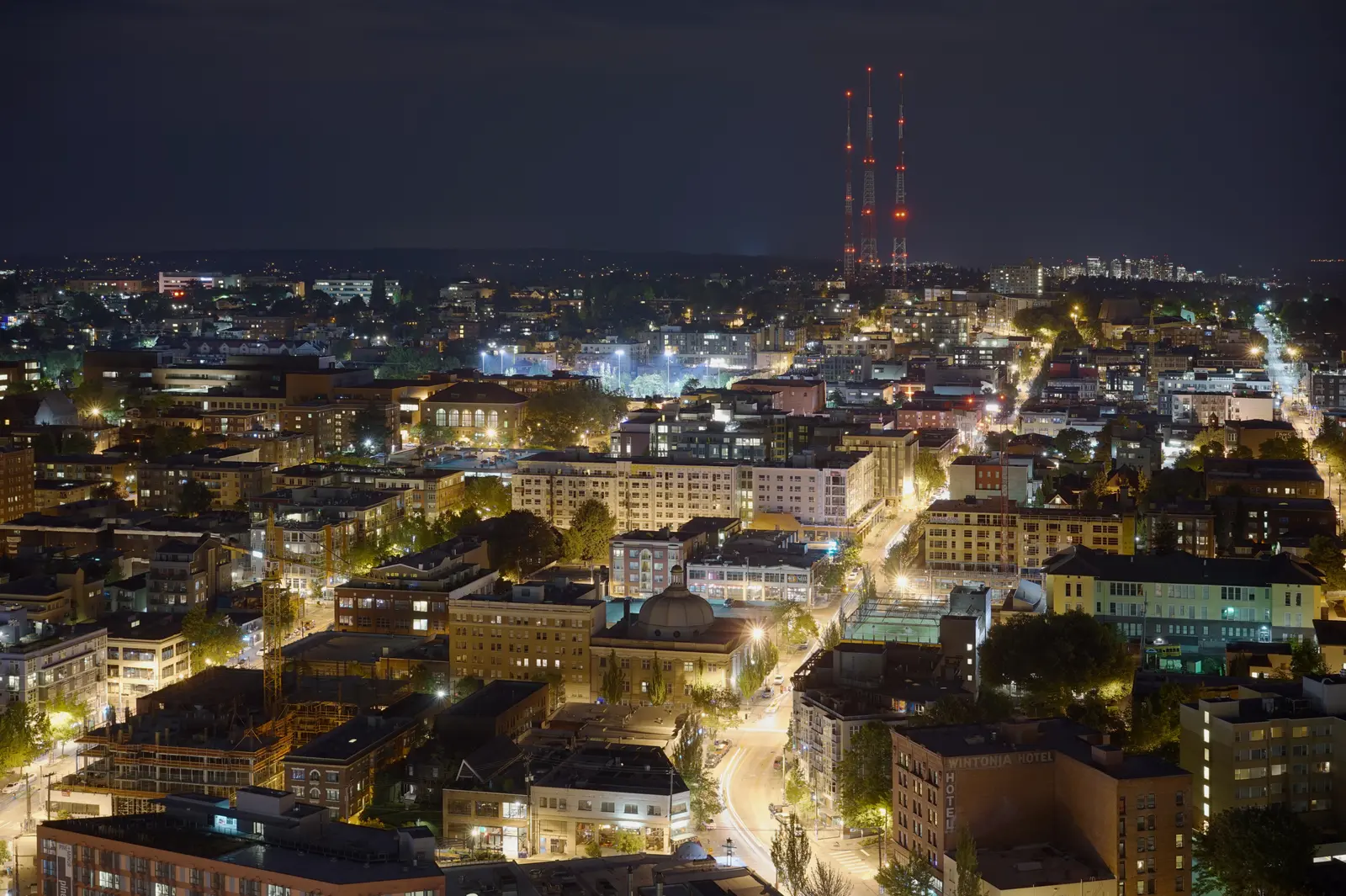 Dllu · CC BY-SA 4.0, via Wikimedia Commons
Dentro
- Abierto todo el año
- Duración típica: 4h
Acceso y tarifas
- entrada gratuita (tarifa: ninguno) — neighborhood and public parks
- link light rail available (line: 1 Line · station: Capitol Hill)
- no entry fee (tarifa: ninguno)
Qué hacer
- architecture walking tour (highlights: Blackstone Apartments, Millionaire's Row)
- bar and nightlife scene
- coffee shop hopping (corridor: Pike-Pine)
- dining (examples: Taurus Ox, Paparepas, Sankaku Onigiri Cafe Bar)
- fringe theatre attendance
- independent bookshop browsing (venue: Elliott Bay Book Company)
- live music venues (genres: rock, punk, folk, electronica, hip hop, salsa, trance)
- park walking and gathering (parks: Volunteer Park, Cal Anderson Park)
- walkable retail corridors (streets: Broadway, Pike/Pine)
Servicios
- first hill streetcar terminus (ubicación: Broadway at Denny Way)
- king county metro bus service (routes: 10, 12, 43, 49, RapidRide G)
- link light rail station (line: 1 Line · inauguración: March 2016)
- seattle asian art museum (ubicación: Volunteer Park)
- volunteer park conservatory (tipo: glass-paneled greenhouse)
Mejor época para visitar
- june for pride events (temporada: June)
Eventos y temporadas
- community game nights (venue: Phoenix Comics Games · temporada: throughout the week)
- live music nightly (venues: bars along Pike-Pine corridor · temporada: durante todo el año)
- seattle pride celebrations (temporada: June annually)
Características
- 444 ft peak elevation (ubicación: Volunteer Park)
- cal anderson park (incluye: AIDS Memorial Pathway)
- grunge music heritage (era: early 1990s)
- harvard-belmont landmark district
- highest point 444 ft (ubicación: Volunteer Park)
- historic architecture (examples: Harvard-Belmont Landmark District, Blackstone Apartments)
- lgbtq neighborhood — Seattle's primary gayborhood since 1970s
- lgbtq+ historic district — gayborhood since 1970s
- lgbtq+ historic village (established: since 1970s)
- steepest paved street (grade: 21% · street: E. Roy St, 25th–26th Ave E)
- volunteer park, 50 acres (designer: Olmsted Brothers)
Cerca de aquí
- downtown seattle (dirección: west, via I-5)
- first hill (dirección: sur)
- first hill neighborhood (dirección: sur)
- university of washington (acceso: 1 Line light rail north)
- volunteer park (position: within neighborhood)
Datos útiles
- bus access (routes: King County Metro 10, 12, 43, 49; RapidRide G)
- hilly terrain (steepest: 21% grade, E. Roy St)
- king county metro trolleybus (routes: 10, 12, 43, 49)
- link light rail access (line: 1 Line · inauguración: March 2016 · station: Capitol Hill Station)
- link rail to downtown (inauguración: March 2016)
- rapidride g bus line (ruta: Madison Street · headway: 6 min peak)
- streetcar access (line: First Hill Streetcar · inauguración: January 2016 · terminus: Broadway at Denny Way)
Identificador de catálogo: AVIA-ACPT-R04X8