sẁiẁs Park
About
What It Is
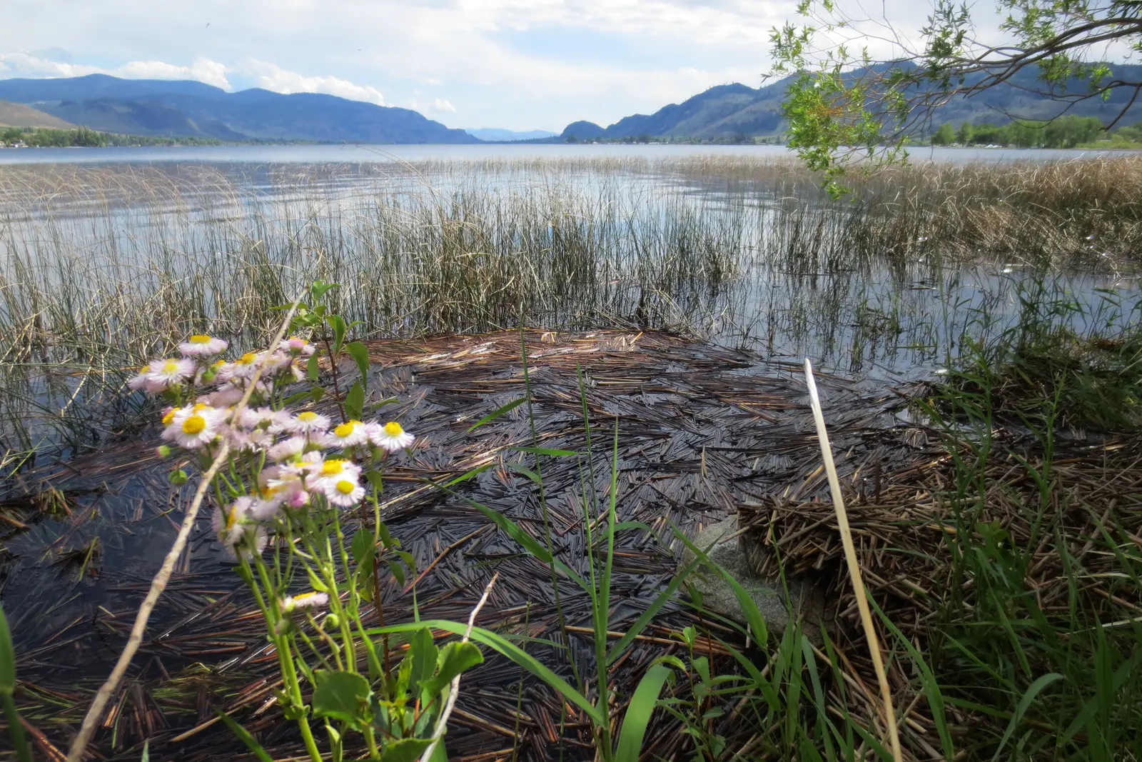
sẁiẁs Park is a narrow spit of land extending eastward into Osoyoos Lake, situated on the lake's western shore southwest of the town of Osoyoos, in the southernmost part of the Okanagan region of British Columbia [2]. The park covers approximately 38 hectares and is a provincial park managed and operated by the Osoyoos Indian Band within their traditional territory [1][2]. The name sẁiẁs, pronounced similarly to "s-wee-yous," derives from the ancestral Okanagan language and describes a place where the lake narrows and shallows enough to cross on foot or horseback [1][2]. The park is located 2 km south of Osoyoos off Highway 97 on 32nd Avenue, near the Canada-US border [1][2].
The site carries deep cultural and archaeological significance: ancestral remains dated to roughly 1,224 years ago were unearthed and reburied here in 2014, making them the oldest on record in the Osoyoos region, and radiocarbon dating of midden materials has illuminated the diet of Okanagan ancestors from 3,265 to 4,475 years ago [1][2]. Obsidian flakes found at the site were traced to Oregon, confirming extensive Indigenous trade and travel routes along the Columbia River Basin [1][2]. The park was originally established in 1939 and renamed to reflect its Okanagan place name in 2015 [1][2].
Activities & Experiences
Visitors can camp in 41 individual lakeshore campsites on gravel pads, separated by natural foliage for privacy [2]. The park offers cycling and hiking trails, a boat launch, picnic tables, and a wetland area with self-guided paths and interpretive information stands [2]. Swimming and wading in Osoyoos Lake are possible, though visitors do so at their own risk given the conditions described in the safety notes [1].
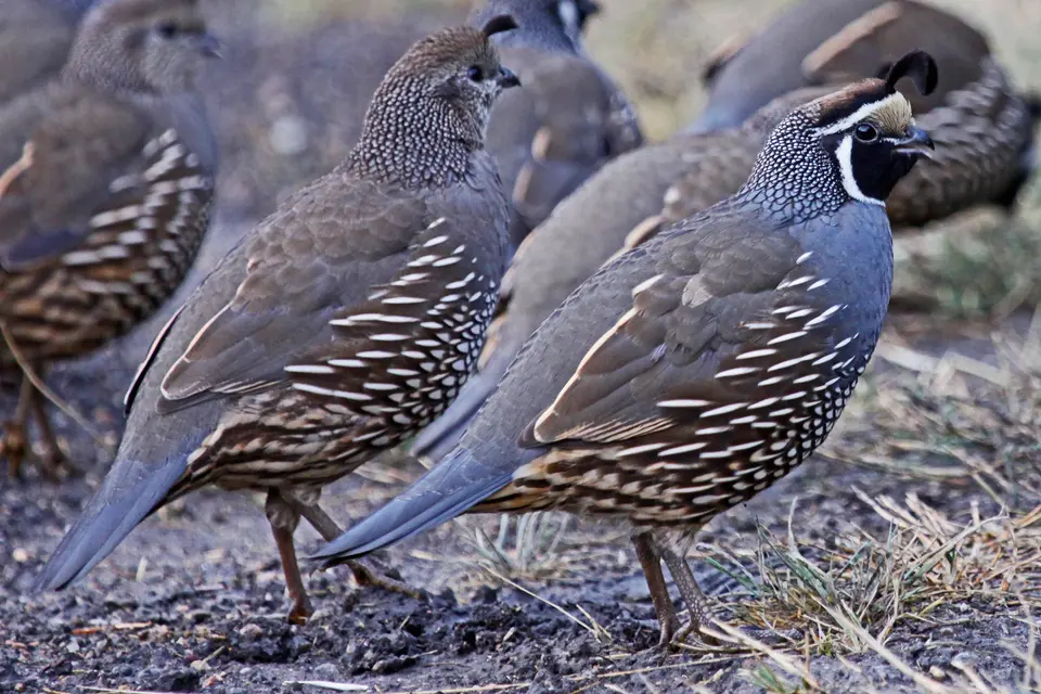
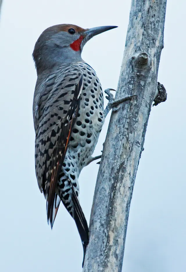
The park is a recognized birdwatching destination, with ospreys, bald eagles, barn owls, and a variety of other species present due to the Okanagan basin's natural migration flyway and nesting habitats [2]. Wildlife including white-tailed deer, mule deer, and American black bear also inhabit the area [2]. The wetland zone supports species at risk such as the tiger salamander, American spadefoot toad, and painted turtle [2].
Practical Access
The park is located 2 km south of Osoyoos off Highway 97 on 32nd Avenue [1]. A paved road runs through the park for vehicles, and facilities include tap drinking water and public toilets [2]. The park is open annually from April to October [2].
Camping reservations are made through the BC Parks reservations system, and early booking is strongly encouraged for summer months given the park's popularity [1]. A maximum stay policy of seven nights per calendar year applies to the campground [1].
Restrictions
A maximum stay of seven nights per calendar year is enforced at the campground [1]. Large tent shelters are prohibited on beaches due to the risk of them being blown into the lake by the severe and unexpected winds that can occur at the park [1]. Swimming, wading, and walking in the water are undertaken at the visitor's own risk; dangerous undercurrents and steep drop-offs exist around the exposed sandbar at the tip of the point, and children must be supervised at all times near the water [1].
The park contains significant amounts of poison ivy, and visitors are encouraged to learn to identify and avoid the plant [1]. All archaeological and cultural heritage sites within the park are protected under the Heritage Conservation Act, whether recorded or not [1].
What Makes It Distinctive
sẁiẁs Park is one of the few provincial parks in British Columbia both managed by and located within the traditional territory of an Indigenous band, the Osoyoos Indian Band, giving it a living cultural dimension uncommon among comparable parks [1][2]. The park's name and history have been transmitted for thousands of years through Okanagan oral tradition, and the site continues to support traditional, ceremonial, and cultural use [1].
Its position on a narrow lake spit in Canada's only desert-adjacent climate zone, combined with lakeside campsites, archaeological depth, and a documented wildlife migration corridor, makes it a convergence of natural, cultural, and recreational value that is rare in the region [1][2]. It is widely recognized as one of British Columbia's most popular parks for lakeside scenery and Indigenous heritage [2].
Sources
Photos