Rattlesnake Ledge Trail
About
What It Is
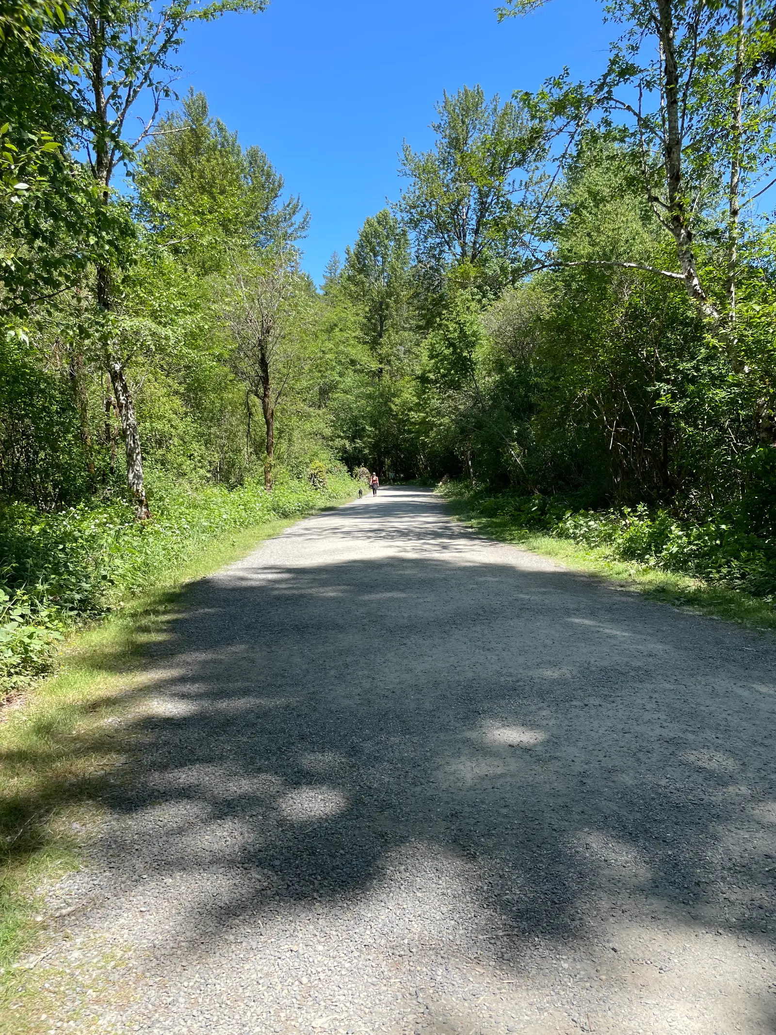
Rattlesnake Ledge Trail is a moderate, 4.0-mile roundtrip hiking trail located in the North Bend area of the Snoqualmie Region, Washington Cascades, approximately thirty miles east of Seattle [1][2]. The trail climbs 1,160 feet through second-growth forest to a prominent rocky ledge at 2,078 feet elevation, offering panoramic views over the surrounding landscape [1]. It sits within the Rattlesnake Lake Recreation Area, which is owned and managed by Seattle Public Utilities as a buffer zone for the Cedar River municipal watershed [2].
Activities & Experiences
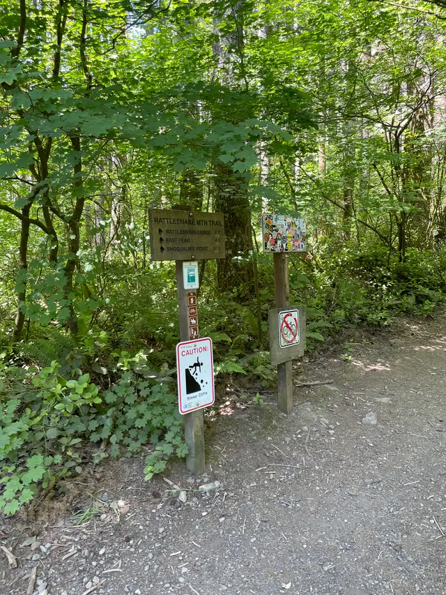
Hikers ascend through forest past large moss-covered boulders, with periodic views down to Rattlesnake Lake as elevation is gained [1]. The main destination is Rattlesnake Ledge, a large exposed rock outcrop with sheer cliffs, from which visitors can see the Cedar River watershed, Mount Si, Mount Washington, Rattlesnake Lake, and Chester Morse Lake [1]. Those seeking quieter conditions and broader northwest-facing views can continue a short distance beyond the main ledge junction to Middle Ledge or Upper Ledge [1]. The trail also connects to extended routes toward East Peak (2.4 miles from the junction) and a ridge traverse to Snoqualmie Park (8.3 miles from the junction) [1].
Practical Access
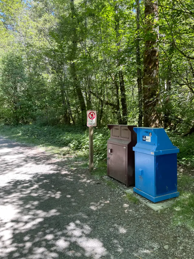
The trailhead is reached from I-90 via exit 32 for 436th Avenue SE, turning right onto Cedar Falls Road SE and continuing approximately four miles to the Rattlesnake Lake parking lot [1]. From the parking lot, hikers walk a short distance around the north end of Rattlesnake Lake to the trailhead on the northwest side, where porta-potties and an informational kiosk with maps and area history are available [1]. No parking pass or entry fee is required [1]. GPS directions to 208th Ave SE in Hobart are outdated and should not be used, as that road now dead-ends seven miles from the trailhead [1].
Restrictions
Dogs are permitted but must be kept on leash [1]. The ledge itself features sheer cliffs and is described as very exposed, requiring careful approach, particularly for those hiking with children or dogs [1].
What Makes It Distinctive
The trail was substantially rebuilt by Washington Trails Association work parties, which rerouted and lengthened the original route to reduce steepness and repair damage from heavy use, resulting in well-engineered switchbacks through the forest [1]. The trailhead parking area provides an immediate view of Rattlesnake Ledge's sheer rock face across Rattlesnake Lake, giving visitors a clear visual goal from the moment they arrive [1]. The availability of quieter upper ledges above the main viewpoint offers a practical alternative for those seeking to avoid the crowds that typically gather at Rattlesnake Ledge itself [1].
Sources
- Typical duration: 6h
Access & fees
- no fee required
Things to do
- dogs allowed on leash
- extended ridge hiking
- fishing at lake
- hiking to viewpoint
- picnicking and slacklining
Amenities
- informational kiosk
- porta-potties at trailhead
Best time to visit
- summer most popular
Features
- 4.0 miles roundtrip
- exposed rock ledge viewpoint
- moderate difficulty
- second-growth forest trail
Nearby
- palouse to cascades trail
- rattlesnake lake
- snoqualmie valley trail
Good to know
- ~30 miles east of seattle
- access via i-90 exit 32
- good for kids
Photos