Puget Sound
About
What It Is
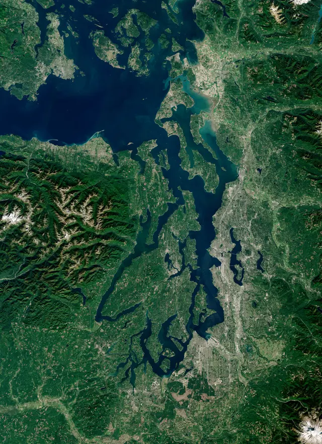
Puget Sound is a complex estuarine system of interconnected marine waterways and basins on the northwest coast of Washington State. [4] It is part of the larger Salish Sea, which also includes the Strait of Juan de Fuca and the Georgia Basin in Canada. [2] The sound stretches roughly 100 miles from Deception Pass in the north to Olympia in the south, with an average depth of 450 feet and a maximum depth of 930 feet. [4] It ranks as the second-largest estuary in the United States, after the Chesapeake Bay. [4]
The sound's shoreline extends approximately 2,350 miles, and its watershed covers nearly 16,500 square miles, drained by more than ten thousand rivers and streams. [5] Major cities along its shores include Seattle, Tacoma, Olympia, and Everett. [4] The waterway was named in 1792 by British explorer George Vancouver after Peter Puget, one of his officers. [4] Indigenous peoples, including the Suquamish, knew it by the Lushootseed name meaning salt water, and used its waters as a primary transportation corridor for thousands of years. [5]
Activities & Experiences
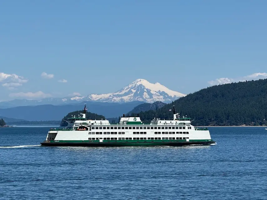
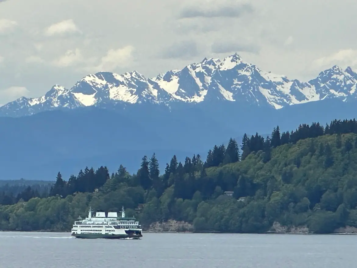
Visitors to the Puget Sound region can explore a wide range of water-based and shoreline experiences across its many sub-basins, islands, and coastal communities. [5] Ferry travel connects mainland ports to islands such as Bainbridge Island, offering scenic crossings across open water. [5] Nearby destinations accessible from the sound include Blake Island State Park, reachable only by boat, and Deception Pass State Park, which features beaches, forest trails, campsites, and views of swift tidal currents beneath a historic bridge. [5]
The surrounding region also provides access to ski resorts at Snoqualmie Pass and Stevens Pass in the Cascades, as well as Mount Rainier National Park to the southeast. [5] Cities along the sound, including Tacoma, offer cultural attractions such as museums and waterfront parks. [5]
Practical Access
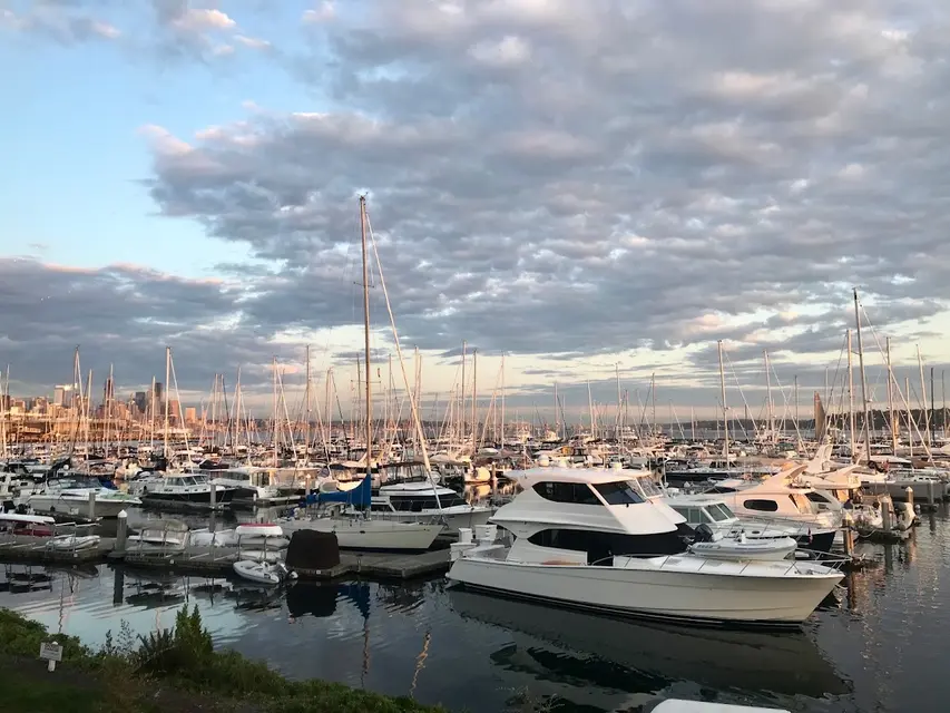
Puget Sound is accessible from numerous points along its extensive shoreline, with major entry points in Seattle, Tacoma, Olympia, Bremerton, and other coastal cities. [5] Ferry services operate across the sound, connecting communities on the Kitsap Peninsula and islands to the eastern shore. [5] The sound and its surrounding region form the largest population center of the Pacific Northwest, making it well-served by road and transit infrastructure. [5]
No specific hours, fees, or reservation requirements for general access to the sound itself are noted in the sources.
Restrictions
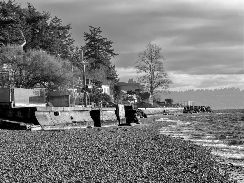
Bacteria pollution in Puget Sound can result in closures of shellfish harvesting beds and can make saltwater beaches unsafe for swimming; conditions vary by location and time. [3] Washington State Department of Ecology monitors water quality and issues advisories when pollution levels pose risks to public health or marine life. [3]
No additional specific visitor restrictions are noted in the sources.
What Makes It Distinctive
Puget Sound is the second-largest estuary in the United States and one of only 28 estuaries designated as nationally significant under the EPA's National Estuary Program. [2] Its glacially carved basin, formed roughly 14,000 years ago, produces an unusually deep and intricate network of waterways with a maximum depth approaching 930 feet. [4] [5] The sound supports a complex food web of shellfish, fish, and marine mammals, while simultaneously serving as the geographic and economic core of the Pacific Northwest. [3] [5]
The combination of deep fjord geography, proximity to major urban centers, rich Indigenous history, and ongoing ecological significance makes Puget Sound a place of both recreational and scientific importance that few estuaries in North America can match. [2] [4] [5]
Sources
- PS Info
- Puget Sound | US EPA
- Issues & problems - Washington State Department of Ecology
- Puget Sound
- Monitoring bacteria in Puget Sound – WA Dept. of Ecology
- Swimming Safety – WA Dept. of Ecology
- Building Resilience and Recovering Puget Sound – Puget Sound National Estuary Program
- Puget Sound and Coastal Geology – WA Dept. of Natural Resources
- Water & Beach Activities – Washington State Parks
- WSDOT – Washington State Ferries Vessels
- Seattle on the Water – Visit Seattle
- Blake Island Marine State Park History – Washington State Parks
- Directions – Mount Rainier National Park (NPS)
- Puget Sound Marine Monitoring – King County, Washington
- Marine Water – Puget Sound Vital Signs
- Best Places to Ski and Snowboard Near Seattle Southside
- Open year-round
- Typical duration: 5 days
Access & fees
- no estuary-wide fee
Things to do
- beachcombing
- birdwatching
- boating
- canoeing
- crabbing and shellfishing in permitted areas
- cycling along selected waterfront routes
- fishing
- kayaking
- landscape/wildlife photography
- marine wildlife watching
- paddleboarding
- picnicking at waterfront parks
- sailing
- saltwater swimming
- scenic ferry rides
- scuba diving
- sunset viewing
- swimming — possible, but cold-water conditions are a major consideration
- tide-pool exploration
- waterfront and coastal walking
- whale watching
Features
- ~100 miles long
- average depth 450 ft
- coastal landscape
- estuary/inland sea
- glacially formed basin
- marine wildlife
- national estuary program site
- natural attraction
- part of salish sea
- scenic destination
- second-largest u.s. estuary
Nearby
- mount rainier national park
- seattle, tacoma, olympia, everett
Good to know
- costs depend on the activity
- ideal visit: 4 days
- water quality monitored
Photos