Mount Boucherie
About
What It Is
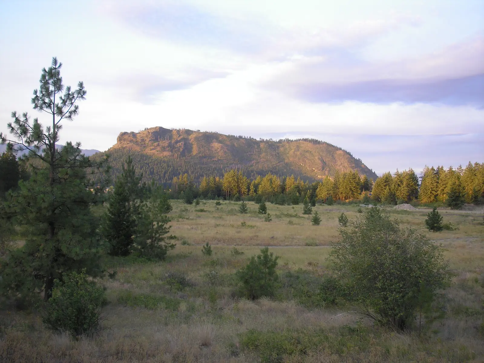
Mount Boucherie is an extinct stratovolcano located in West Kelowna, British Columbia, on the west shore of Okanagan Lake, directly across from the city of Kelowna [1]. The volcano formed approximately 60 million years ago and was subsequently shaped by four to six glacial periods over the following 50 million years [1]. Today it rises 417 metres above the nearby lake level, though its original elevation is estimated to have reached 2,000 metres or more [1]. The mountain is named after Isadore Boucherie, a farmer and early settler who purchased land on the west side of the lake in the late 1880s [1].
Activities & Experiences
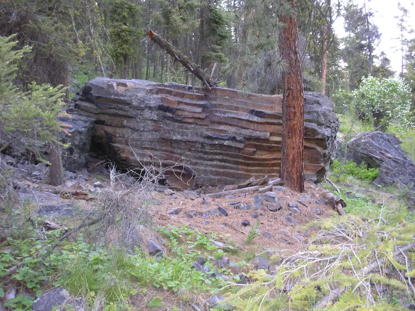
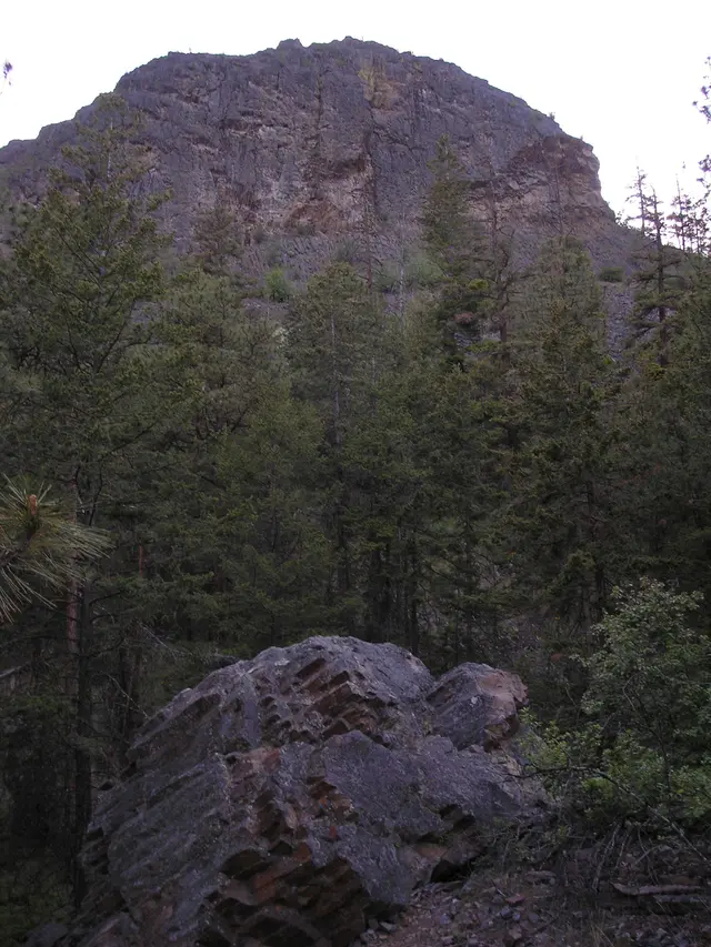
Visitors can hike summit trails and perimeter trails that circle the base of the mountain, with access routes beginning at Eain Lamont Community Park [1]. The mountain's exposed rock faces display a range of volcanic colours and formations, including yellow, tan, and pinkish rhyolite and andesite on the north and south flanks, and dark dacite columns on the east and north-east face [1]. The folded volcanic flows and intersecting rock columns visible on the east cliff face offer a direct look at the geological history of the site [1].
Practical Access
Mount Boucherie Regional Park covers 36.4 hectares but is generally reached only through Eain Lamont Community Park, a 2.54-hectare park situated on Lakeview Cove Place [1]. Eain Lamont Community Park serves as the starting point for both summit and perimeter trails [1]. The sources do not specify fees, hours, transit options, accessibility details, or typical visit duration.
Restrictions
No specific restrictions noted in the sources.
What Makes It Distinctive
Mount Boucherie is one of the few accessible remnants of a stratovolcano in the Canadian interior, offering visible geological evidence of early Cenozoic volcanism and faulting in southern British Columbia [1]. The contrast between the coloured rhyolite and andesite flanks and the dark dacite column formations makes the rock record unusually legible to visitors on the trail [1]. Its history as a volcano estimated to have once stood at 2,000 metres, now reduced to 417 metres above lake level by repeated glaciation, gives the site a geological narrative that distinguishes it from typical regional parks [1].
Sources
- Open year-round
- Best months: April–October
- Typical duration: 3h
Access & fees
- free entry
Things to do
- birdwatching
- geological exploration
- hiking
- mountain biking
- nature observation
- perimeter base trails
- photography
- scenic views
- summit hiking
- trail running
- wildlife watching
Amenities
- eain lamont community park
Events & seasons
- 1992 forest fire (historical)
Features
- current elevation 417 m
- dacite columnar formations
- eroded stratovolcano remnant
- park area 36.4 ha
- rhyolite, andesite, dacite rock
- volcanic rock types
Nearby
- city of kelowna
- okanagan lake west shore
Good to know
- park entry via eain lamont
Photos