Lake Chelan
About
What It Is
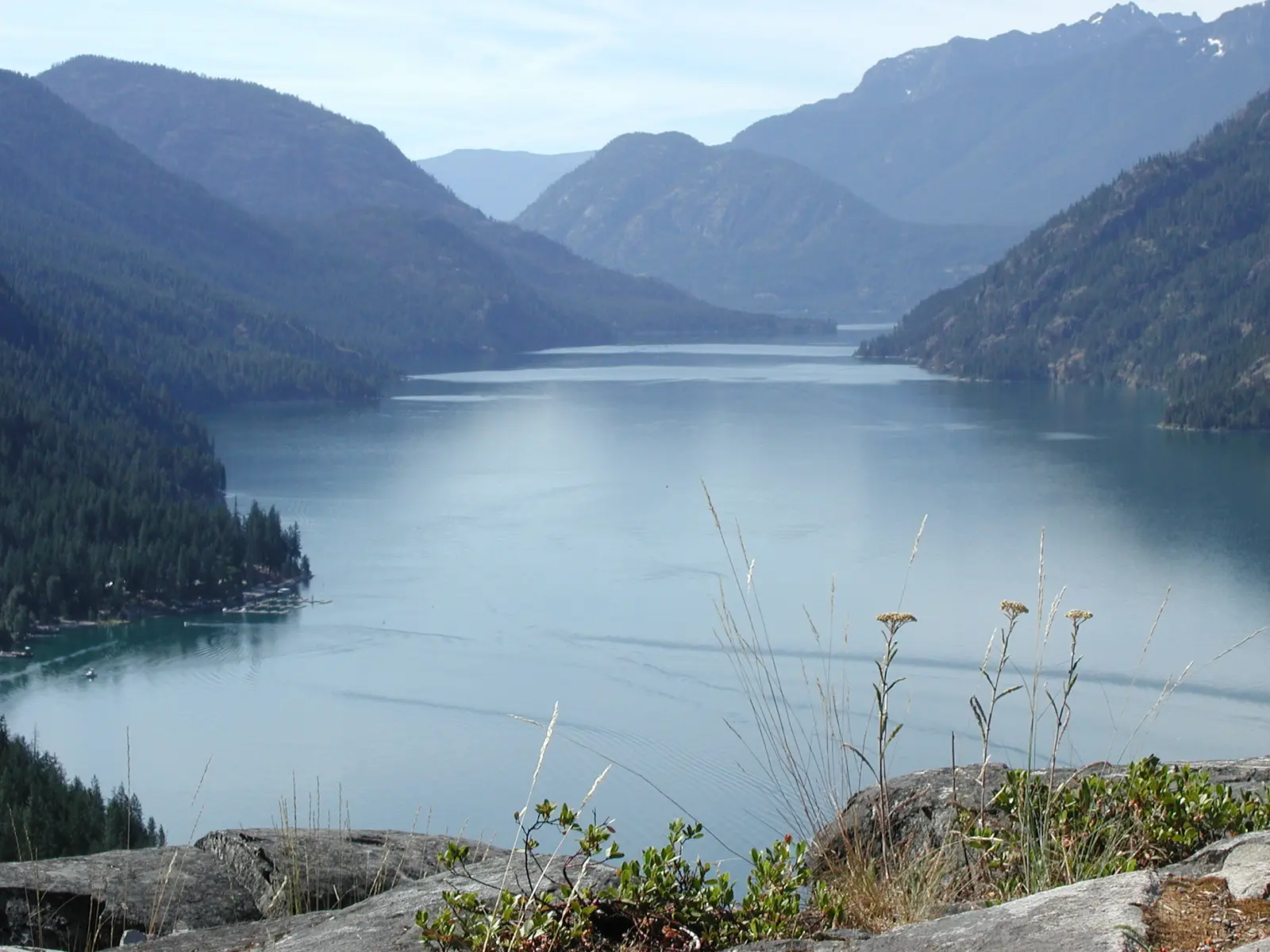
Lake Chelan is a narrow glacially carved lake stretching 50.5 miles (81.3 km) through Chelan County in north-central Washington state. [1] Its fjord-like character comes from repeated glacial erosion during the Pleistocene, which excavated a deep trough now filled with water. [1] The lake reaches a maximum depth of 1,486 feet (453 m), making it the third deepest lake in the United States, behind Crater Lake and Lake Tahoe, and the 25th deepest in the world. [1] At its lowest point, the lake bottom sits roughly 388 feet (118 m) below sea level. [1]
The lake is divided into two distinct basins: the shallower lower Wapato basin and the much deeper upper Lucerne basin, which holds 92% of the lake's total water volume. [1] The northern tip of the lake serves as a gateway to North Cascades National Park. [1]
Activities & Experiences
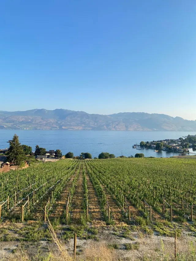
The lake's setting offers visitors access to a range of water-based and land-based recreation. The southern end of the lake, near the town of Chelan, sits in the rain shadow of the Cascade Range and experiences a notably dry, mild climate, making it suitable for warm-season outdoor activity. [1] The northern reaches, by contrast, are surrounded by mountainous terrain with few beaches and provide a more remote, wilderness-oriented experience. [1]
The upper Lucerne basin shoreline includes approximately 50 miles of National Forest lands and 12 miles of National Park lands, offering access to protected natural areas. [1] The Stehekin River, which contributes 65% of the lake's inflow, enters at the northern end near the community that serves as a gateway to the national park. [1]
Practical Access
Two communities are located at the southern end of the lake, and a third sits at the far northern end. [1] The isolated nature of the lake, particularly at its northern reaches, limits the resident population and shapes how visitors access that portion of the lake. [1] The southern end near Chelan receives an average of only 11.4 inches of rain per year, while the northern end at Stehekin receives an average of 35.5 inches of rain and 122.5 inches of snow annually, reflecting significant seasonal and geographic variation in conditions. [1]
No specific hours, fees, reservations, or visit duration information are provided in the sources.
Restrictions
No specific restrictions noted in the sources.
What Makes It Distinctive
Lake Chelan ranks as the third deepest lake in the United States and the 25th deepest in the world, a distinction rooted in the extraordinary depth of glacial erosion that shaped its basin over multiple Pleistocene glaciations. [1] The lake's deepest point lies well below sea level, a geological feature unusual for an inland freshwater lake. [1]
The lake's 50.5-mile length spans two climatically distinct zones, from a semi-arid southern end in the Cascade rain shadow to a wetter, snowier northern end bordering national park wilderness. [1] This range of environments within a single lake gives it a character unlike most freshwater lakes in the Pacific Northwest. [1] The Salish name for the lake, derived from the word meaning 'Deep Water,' reflects how long this depth has defined the place. [1]
Sources
- Open year-round
- Best months: June–September
- Typical duration: 4 days
Things to do
- beaches
- boating
- camping
- cycling
- fishing
- hiking
- kayaking
- paddleboarding
- photography
- picnicking
- scenic cruises
- swimming
- wildlife viewing
- wine tasting
Best time to visit
- year-round access
- year-round access varies
- year-round mild temps
Features
- 50.5 mi long, 1.3 mi avg width
- 50.5-mile length
- 62 miles protected shoreline
- 90%+ forested watershed
- fjord-like glacial trough
- lake bottom below sea level
- lake floor below sea level
- national forest shoreline
- pleistocene glacial origin
- salish name 'deep water'
- stehekin river primary inflow
- third deepest us lake
- two distinct basins
- two sub-basins
Nearby
- north cascades national park
Good to know
- dam-raised lake elevation
- dam-regulated water level
- dry southern climate
- elevation 1,100 ft
- limited upper basin beaches
- national forest shoreline
- national park shoreline
- snowy northern end
- south end dry climate
- stehekin access limited
- varied climate along length
- watershed 90% forested
- wet northern climate
Photos