Grand Coulee Dam
About
What It Is
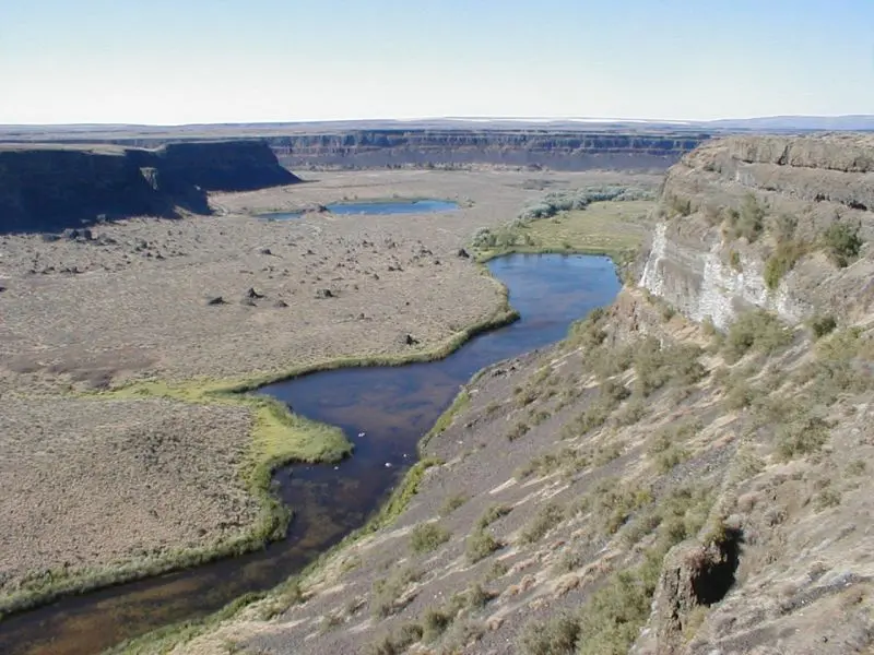
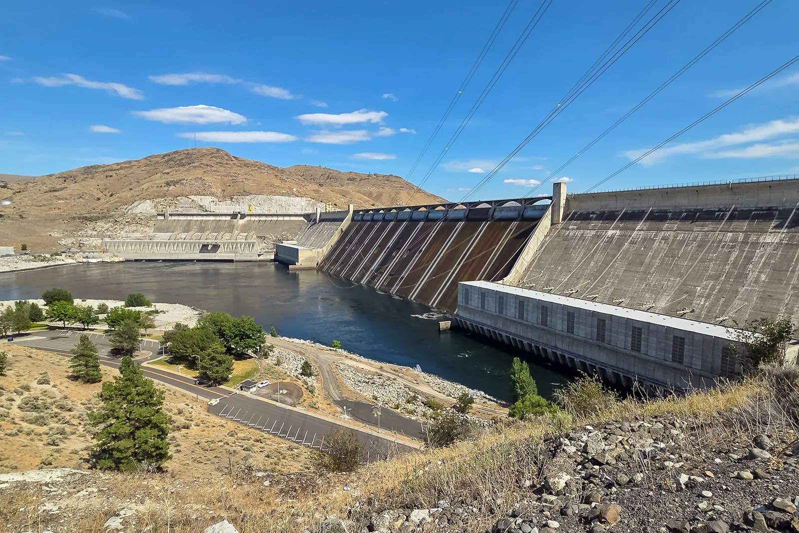
Grand Coulee Dam sits at the northern end of the Grand Coulee, an ancient river channel on the Columbia River Plateau in Washington State [1]. The coulee itself is a National Natural Landmark stretching roughly 60 miles (97 km) southwest from the dam to Soap Lake, divided by Dry Falls into upper and lower sections [1]. The landscape was shaped by catastrophic Ice Age floods originating from glacial Lake Missoula, which repeatedly released up to 500 cubic miles of water across the Columbia Basin over a period of nearly 2,500 years [1].
Activities & Experiences
The broader Grand Coulee landscape offers visitors a window into one of the most dramatic flood geology stories on Earth [1]. The Upper Coulee, filled by Banks Lake, runs 25 miles with walls rising 800 to 900 feet, and connects to the Columbia River at the dam site [1]. Grooves carved into exposed granite bedrock by glacial movement remain visible in the area, and large erratic boulders are scattered across elevated terrain to the northwest of the coulee [1].
Practical Access
The sources do not provide specific visitor access details, hours, fees, or reservation requirements for Grand Coulee Dam as a visitor site [1]. The dam is located at the northern terminus of the Grand Coulee, where the entry to the coulee sits approximately 650 feet above the Columbia River [1].
Restrictions
No specific restrictions noted in the sources.
What Makes It Distinctive
Grand Coulee Dam stands at the head of the longest and deepest canyon system in eastern Washington, a landscape formed by floods described as equivalent to ten times the combined flow of all the world's rivers released in just 48 hours [1]. The surrounding geology — basalt up to 6,600 feet thick, exposed granite bedrock with visible glacial grooves, and walls reaching 1,300 feet in height — represents one of the most geologically layered and visually striking settings of any dam in the United States [1]. The coulee's formation through cataract recession included a waterfall once twice the height of the existing Dry Falls, making the entire corridor a record-scale landform [1].
Sources
- Typical duration: 5h
Things to do
- explore nearby lakes for boating, kayaking, canoeing, swimming, and fishing
- geology and ice age interpretation
- hiking
- photography
- picnicking
- scenic driving through the coulee
- stargazing
- visit nearby attractions such as dry falls, steamboat rock, banks lake, and sun lakes–dry falls state park
- visit viewpoints and overlooks
- wildlife and birdwatching
Best time to visit
- extended hours and laser light show run
Features
- 60-mile ancient coulee
- channeled scablands geology
- coulee walls 1,300 ft
- dry falls landmark
- glacial erratic boulders
- glacial flood geology
- granite glacier grooves
- national natural landmark
- upper coulee 25 miles long
- visible glacial grooves
Nearby
- banks lake
- dry falls
- dry falls state park
Good to know
- open daily: 8:30 am – 5:00 pm
- where to stand for the best views - for the ultimate panoramic bird's-eye view: crown point vista
Photos