Cape Flattery
About
What It Is
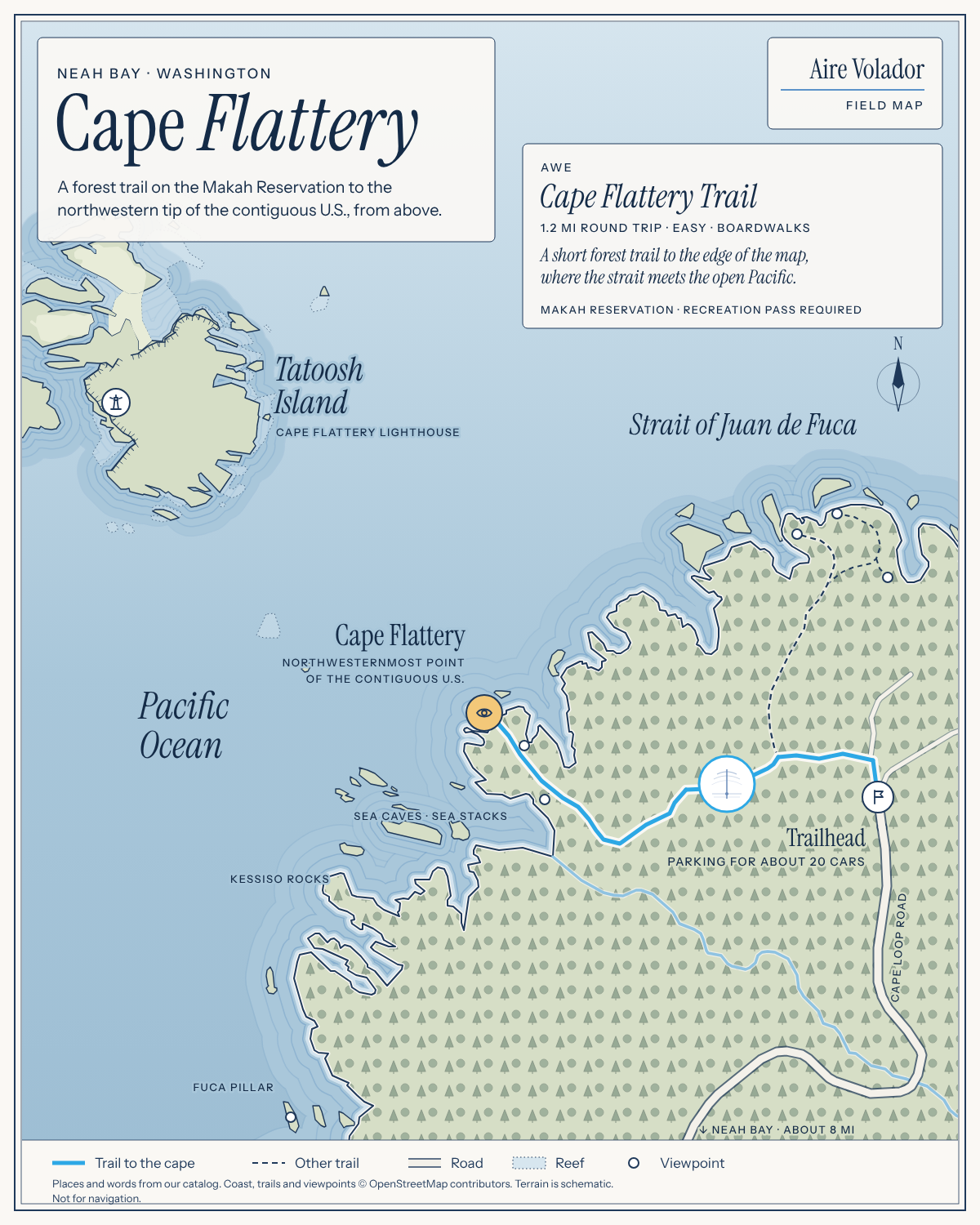
Cape Flattery is the northwesternmost point of the contiguous United States, situated on the Makah Reservation in Clallam County, Washington, on the Olympic Peninsula. [2] It sits where the Strait of Juan de Fuca meets the Pacific Ocean and marks the northern boundary of the Olympic Coast National Marine Sanctuary. [2] The cape lies outside Olympic National Park but near the town of Neah Bay, and is managed by the Makah Tribe. [1] James Cook described and named it on March 22, 1778, making it the oldest non-Native permanently named feature in Washington state. [2]
Activities & Experiences
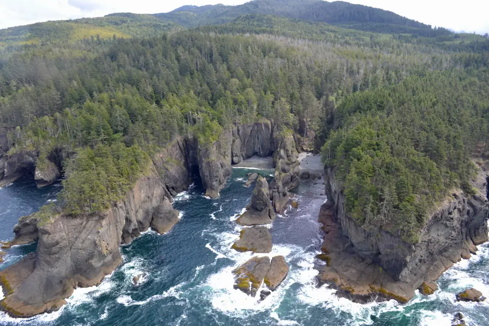
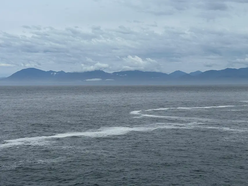
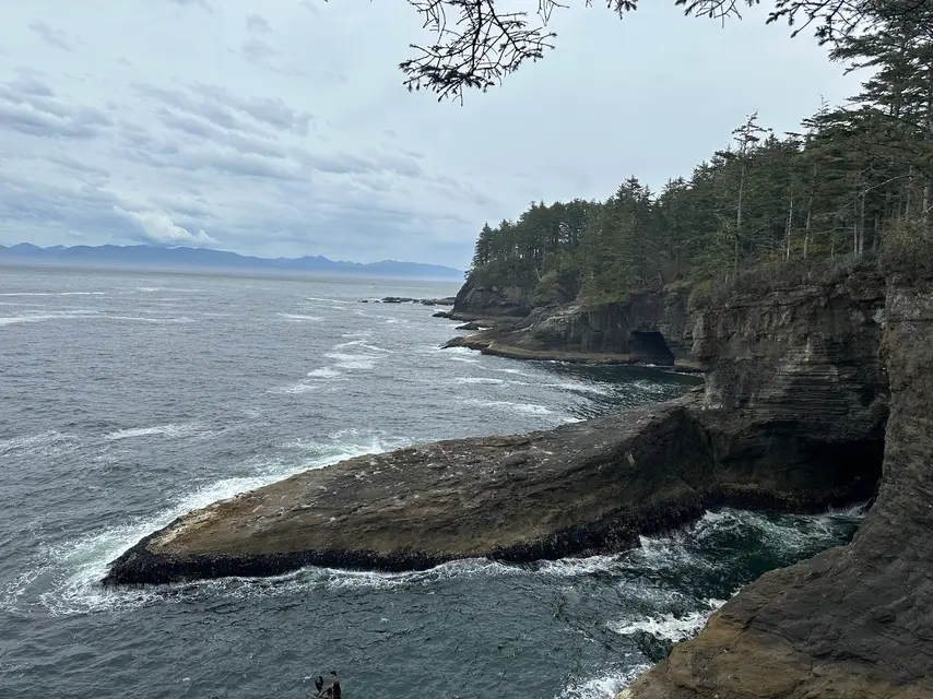
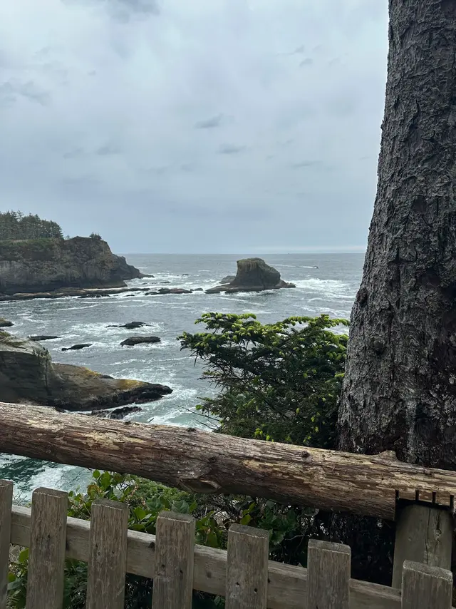
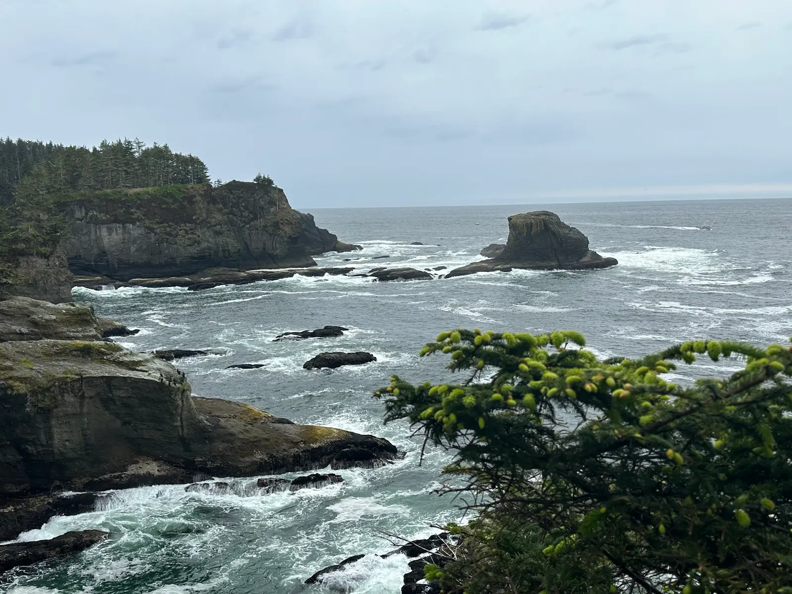
Visitors hike a short trail to three successive viewpoints overlooking the Pacific Ocean, sea stacks, and sea caves below the cliffs. [3] The third and final viewpoint faces Tatoosh Island, where the Cape Flattery Lighthouse stands just off the cape. [2][3] Humpback, orca, and gray whales are frequently spotted from the viewpoints, along with sea lions and seabirds; binoculars are recommended. [3] Fuca Pillar, a tall near-rectangular rock on the west side of the cape, is also visible from the area. [2]
Practical Access
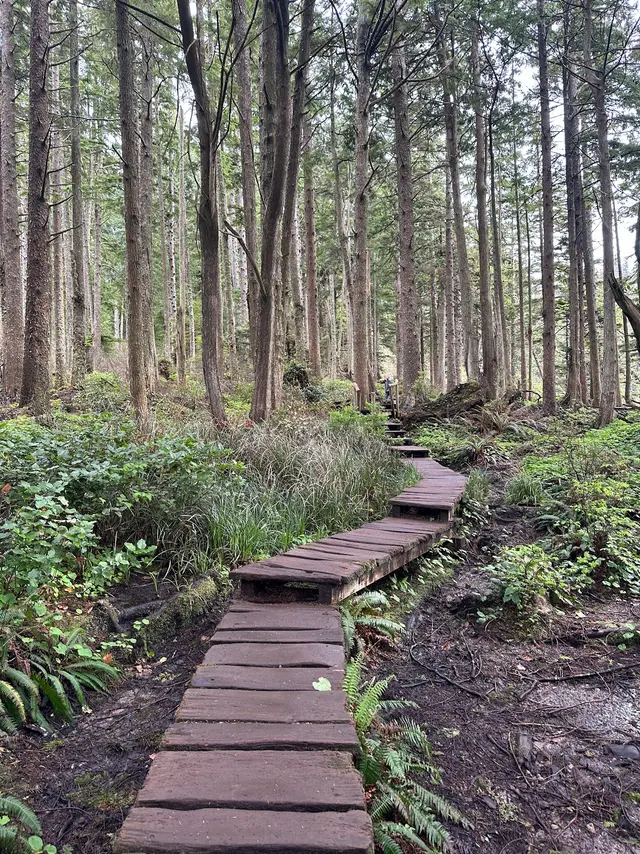
From Port Angeles, take Highway 101 west to Highway 112 west for 64 miles to Neah Bay, then follow Cape Flattery Road approximately eight miles to the trailhead. [3] The trail is 1.2 miles round trip, rated easy, and largely flat; boardwalks cross the boggy sections. [3] The trailhead parking area holds roughly 20 vehicles and fills quickly on weekends and holidays, so early or late arrival is advisable. [3] A Makah Recreation Permit is required to park; it costs 20 USD per vehicle, is valid for one year, and must be displayed on the windshield at Makah Reservation trailheads and attractions. [3] Permits are sold in person in Neah Bay at locations including the Makah Culture and Research Center, Makah Marina, Makah Mini Mart, Washburn's General Store, Makah Tribal Center, and Hobuck Beach Resort. [1][3] A restroom is available at the trailhead. [1]
Restrictions
Hikers must stay on the boardwalks to avoid damaging fragile vegetation; this applies to dogs as well. [3] The boardwalks and stair sections to the viewing platforms can become slippery when wet, requiring extra caution. [3] Dogs are permitted on the trail but must remain on a leash at all times. [3]
What Makes It Distinctive
Cape Flattery holds the geographic distinction of being the northwesternmost point in the contiguous United States, a status no other attraction can claim. [2] The combination of that designation with cliff-top views of sea caves, sea stacks, a historic lighthouse on Tatoosh Island, and reliable marine wildlife sightings makes it unusually rewarding for a trail of only 1.2 miles. [3] Its location on the Makah Reservation also gives it a cultural and historical dimension, including a naming history stretching back to 1778. [2]
Sources
Field map
- Typical duration: 2h
Access & fees
- makah recreation permit per vehicle
Things to do
- coastal scenery viewing
- forest hiking
- scenic overlook: sea caves and sea stacks
- short hike to cape
- view fuca pillar sea stack
- view tatoosh island and lighthouse
- whale watching
- wildlife viewing: sea lions and seabirds
Before you go
- arrive early or late on weekends and holidays
- boardwalks and stairs slippery when wet
- wind and rain likely, especially in winter
Amenities
- restroom at trailhead
Best time to visit
- visit early or late in day
Features
- cape flattery lighthouse on tatoosh island
- fuca pillar sea stack on west side
- makah reservation land
- northwesternmost point, contiguous us
- oldest non-native named feature in washington state
- olympic coast national marine sanctuary northern boundary
- strait of juan de fuca meets pacific ocean
- the lighthouse dates from 1857 (u.s. coast guard).
Nearby
- neah bay, closest town
- neah bay, washington
- outside olympic national park
Good to know
- 1.2 miles round trip
- 3 viewpoints on trail
- boardwalked trail to cape
- clallam county, washington
- dogs allowed on trail
- driving route from port angeles
- managed by makah tribe
- pack out all litter
- permit sold in neah bay in person
- roughly 20 vehicles
- stay on boardwalks
- tatoosh island is closed to visitors
- trail difficulty: easy
Photos