Buttermilk Falls State Park
About
What It Is
Buttermilk Falls State Park is an 811-acre public state park situated southwest of Ithaca, New York [1]. The land was originally donated to New York State by Robert and Laura Treman in 1924, starting at 164 acres, and expanded through subsequent state acquisitions to reach its current size [1]. The park takes its name from the frothy, churning appearance of its main waterfall, a description recorded as early as 1866 [1].
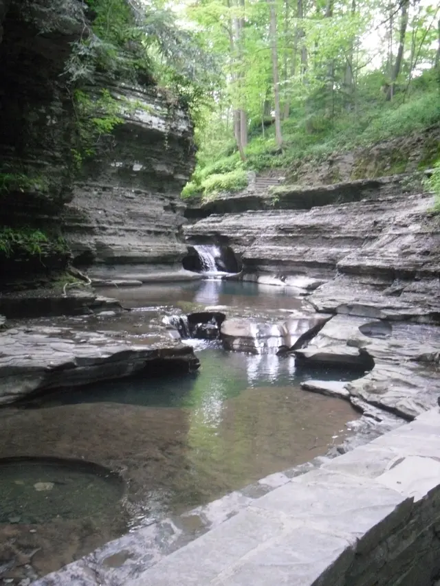
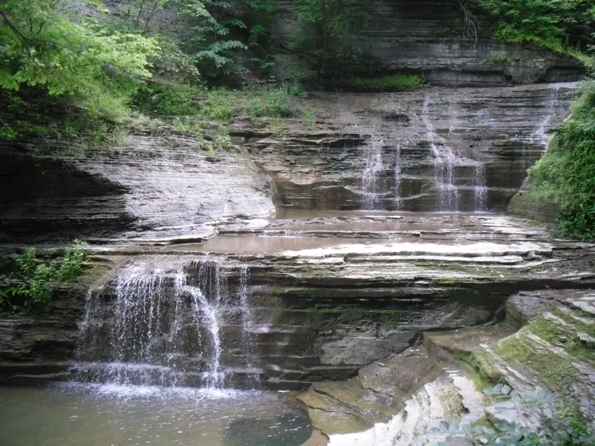
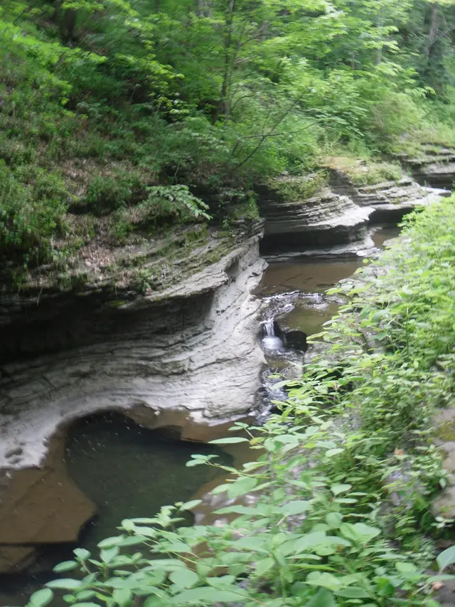
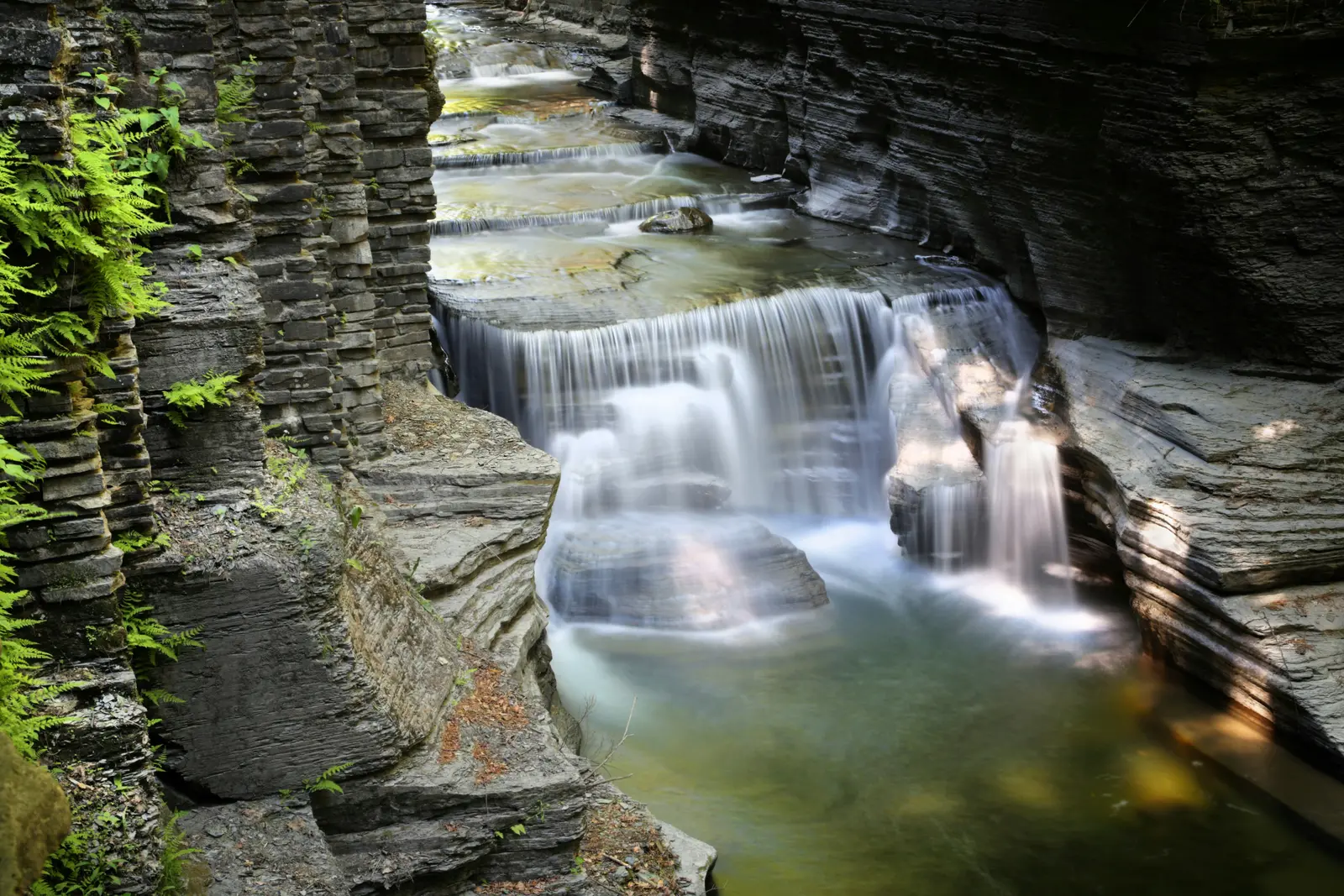
The park's geology is defined by Devonian shale and sandstone laid down in horizontal layers, which fracture and erode into flat slabs and angular edges [1]. The gorge and its waterfalls formed within the last twenty to thirty thousand years as Buttermilk Creek cut back from a hanging valley following the last ice age [1].
Activities & Experiences
Visitors can hike a network of trails that pass ten waterfalls in total, with the main Buttermilk Falls as the central feature [1]. The Gorge Trail follows Buttermilk Creek through a descent of roughly 600 feet (180 m), while the Rim Trail on the opposite bank completes a loop of approximately 1.5 miles (2.4 km) [1]. The Bear Trail extends further up the creek to Lake Treman Falls and Lake Treman, adding another 1.5 miles (2.4 km), and connects at the far end to the Finger Lakes Trail [1]. The Larch Trail, about one mile (1.6 km) long, circles a marsh near the lower parking area [1].
Beyond hiking, the park offers a beach, fishing, deer bow-hunting, a playground, playing fields, pavilions, recreation programs, and a campground with tent and trailer sites [1]. Cabins are also available for overnight stays [1].
Practical Access
The park is located southwest of Ithaca, New York, making it accessible from that city [1]. A lower parking area is situated near the main entrance and the Larch Trail trailhead [1]. The Gorge and Rim trails together form a loop of about 1.5 miles (2.4 km), while adding the Bear Trail and lake circuit brings the total to approximately 3 miles (4.8 km) [1]. No information on fees, hours, reservations, or accessibility accommodations is provided in the available sources.
Restrictions
Deer bow-hunting is a permitted activity within the park, which visitors should be aware of when planning trail use during hunting seasons [1]. No other specific restrictions are noted in the sources.
What Makes It Distinctive
The park contains ten waterfalls along a single creek corridor, a concentration unusual even within the waterfall-rich Finger Lakes region of upstate New York [1]. The geological story is visible throughout: Devonian-era rock formations, potholes carved by moving water, and a distinctive formation called Pinnacle Rock all reflect the gorge's post-ice-age origins [1]. The trail network connects the gorge environment to a lake, a marsh, and an onward link to the long-distance Finger Lakes Trail, giving the park a range of landscapes within a compact area [1]. Its origins as a private gift from the Treman family, who also contributed land to a neighboring state park, add a layer of local philanthropic history to the site [1].
Sources
- Open year-round
- Typical duration: 3h
Things to do
- camping
- deer bow-hunting
- fishing
- hiking
- swimming
Before you go
- bow-hunting permitted in park
Amenities
- cabins
- pavilions
- playground
- playing fields
- recreation programs
Best time to visit
- park open year-round; facilities vary by season
Features
- 10 waterfalls
- 811-acre park
- devonian shale and sandstone geology
- gorge and hanging valley
- lake treman
- marsh near lower parking
- pinnacle rock formation
Nearby
- finger lakes trail connection
- ithaca, new york
Good to know
- bear trail to lake treman
- gorge and rim loop
- gorge trail elevation drop
- larch trail marsh loop
- lower parking area
Photos